
Who: Liz, Alex, Patrick, and me
What: Backpacking
When: 6/20/14-6/22/14
Where: Desolation Wilderness
Mileage: 20 miles
Elevation gain/loss: +3600ft/-4200ft
More photos: here
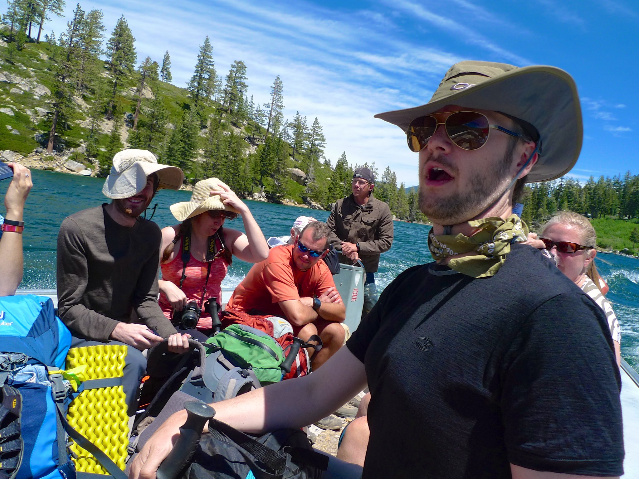
This is the third and final trip of my whirlwind 9 day seminar talk inspired road trip all the way around the Sierra. After finishing my hike in Dusy Basin on Thursday afternoon, I drove up the 395 to South Lake Tahoe. On Friday morning, Patrick drove Liz and Alex out from Oakland and we met up to do a car shuttle, dropping a car at Eagle Falls trailhead before heading back to Echo Chalet. This would be Alex’s first backpacking trip and he hadn’t really trained, so we planned to keep the trip very easy. (This seems to be a bit of a theme this summer!) We had a glorious evening at Lake Aloha and perfect hiking weather the whole weekend.
Day 1
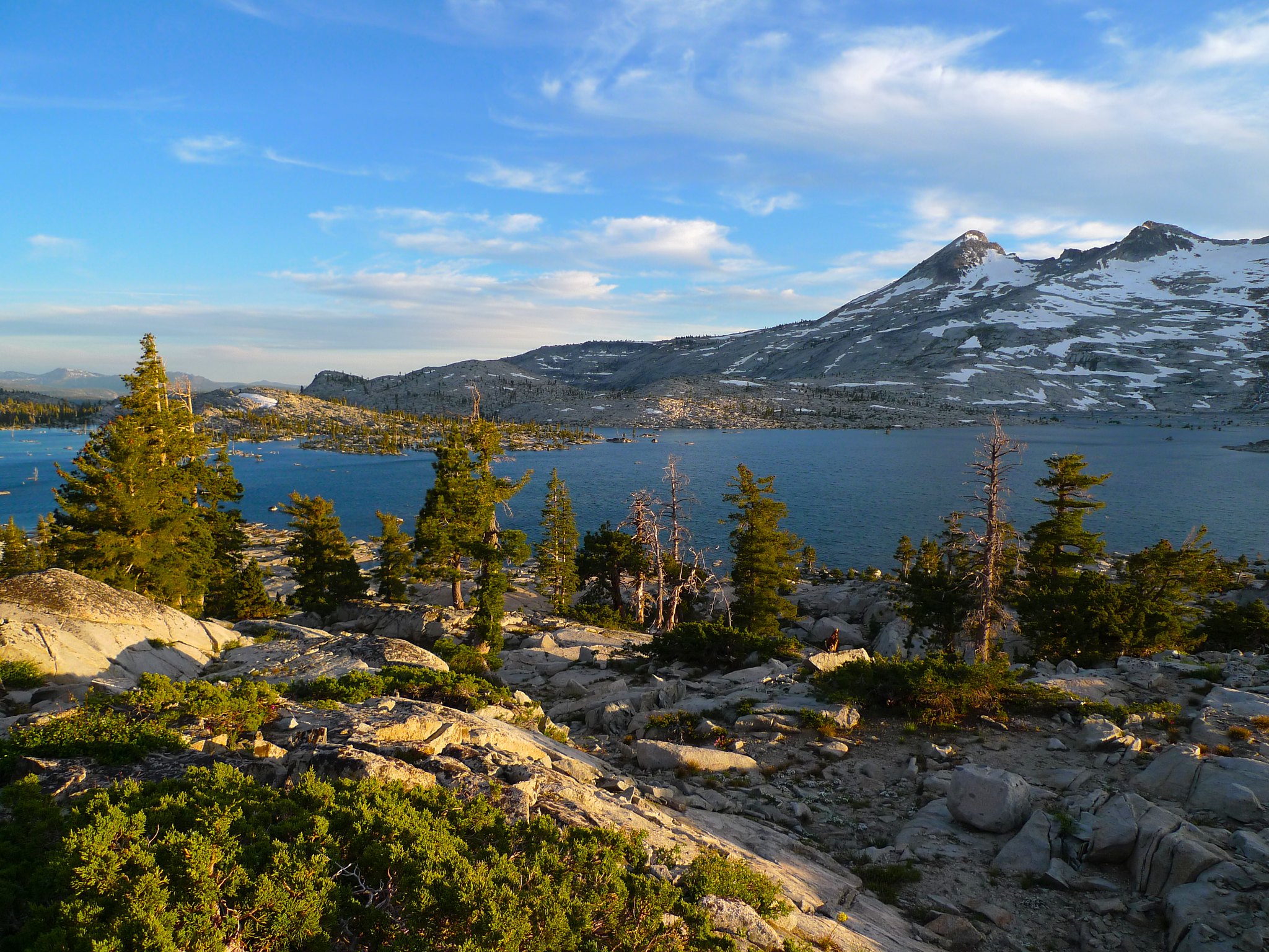
Echo Lake to Lake Aloha
4 miles, +1200ft/-400ft
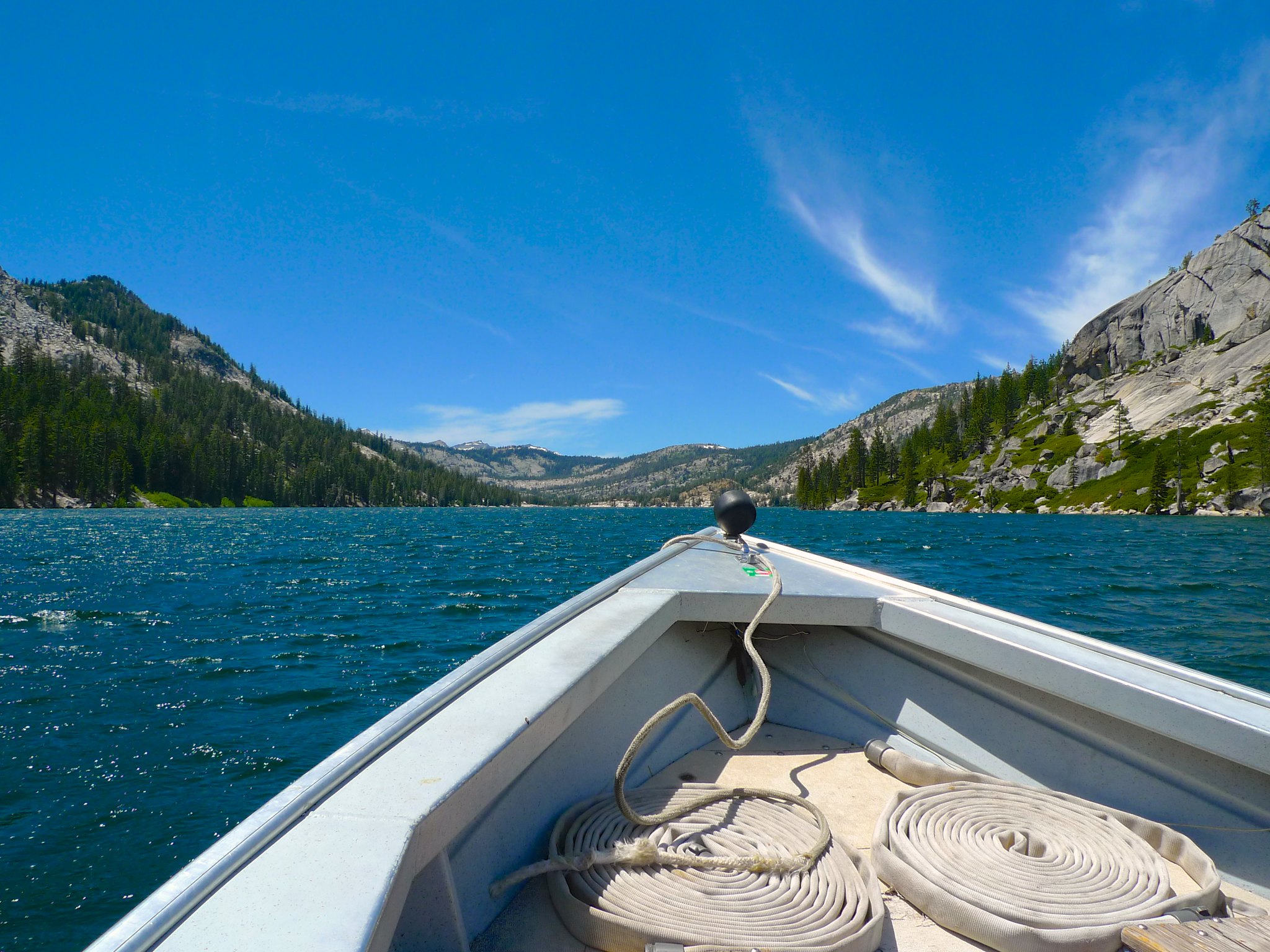
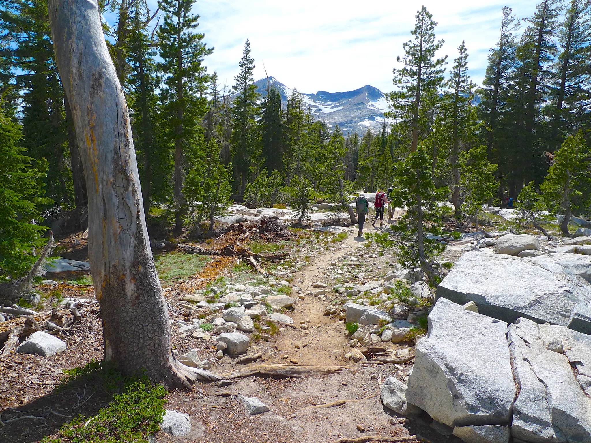
After getting a ridiculously late start due to car shuttles, traffic, and organization, we were finally ready to head out of the Echo Lake area at around 2:30pm. We cheated three miles off the beginning of the hike by taking the Echo Chalet boat taxi to the end of Upper Echo Lake.
It was 3pm by the time we started hiking, but luckily we only had to cover three miles to the edge of Lake Aloha. The trail is very gentle, climbing only about 800 feet to Lake Aloha.
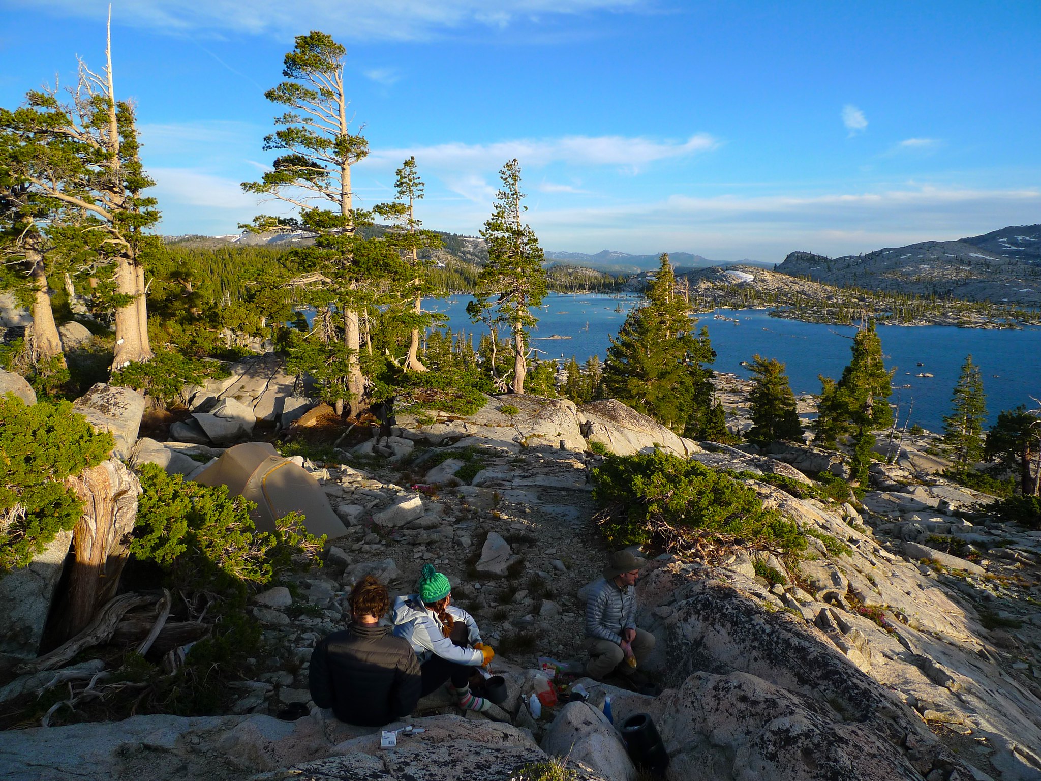
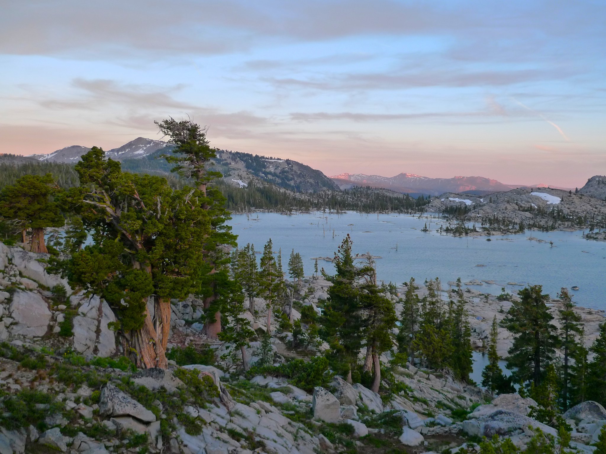
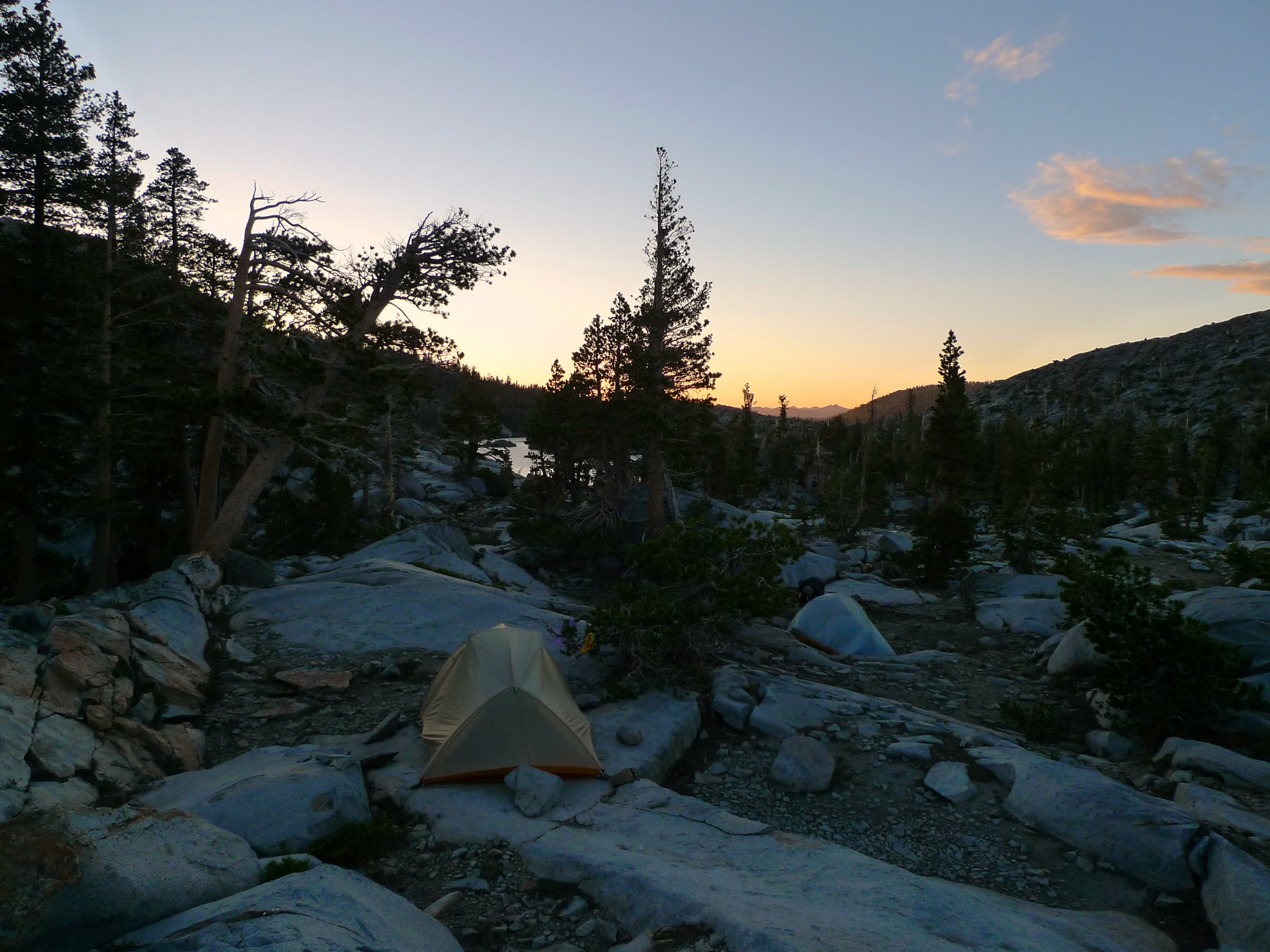
Having camped at Lake Aloha before, I knew we would get the best sunset and sunrise if we headed out of the woods at the south end and along the eastern shore for a bit before choosing our campsite. As we neared a promising area, my friends dropped their packs and I scurried up the hill scouting sites. About 100 feet above the trail, I found two promising sites and went back to bring everyone up.
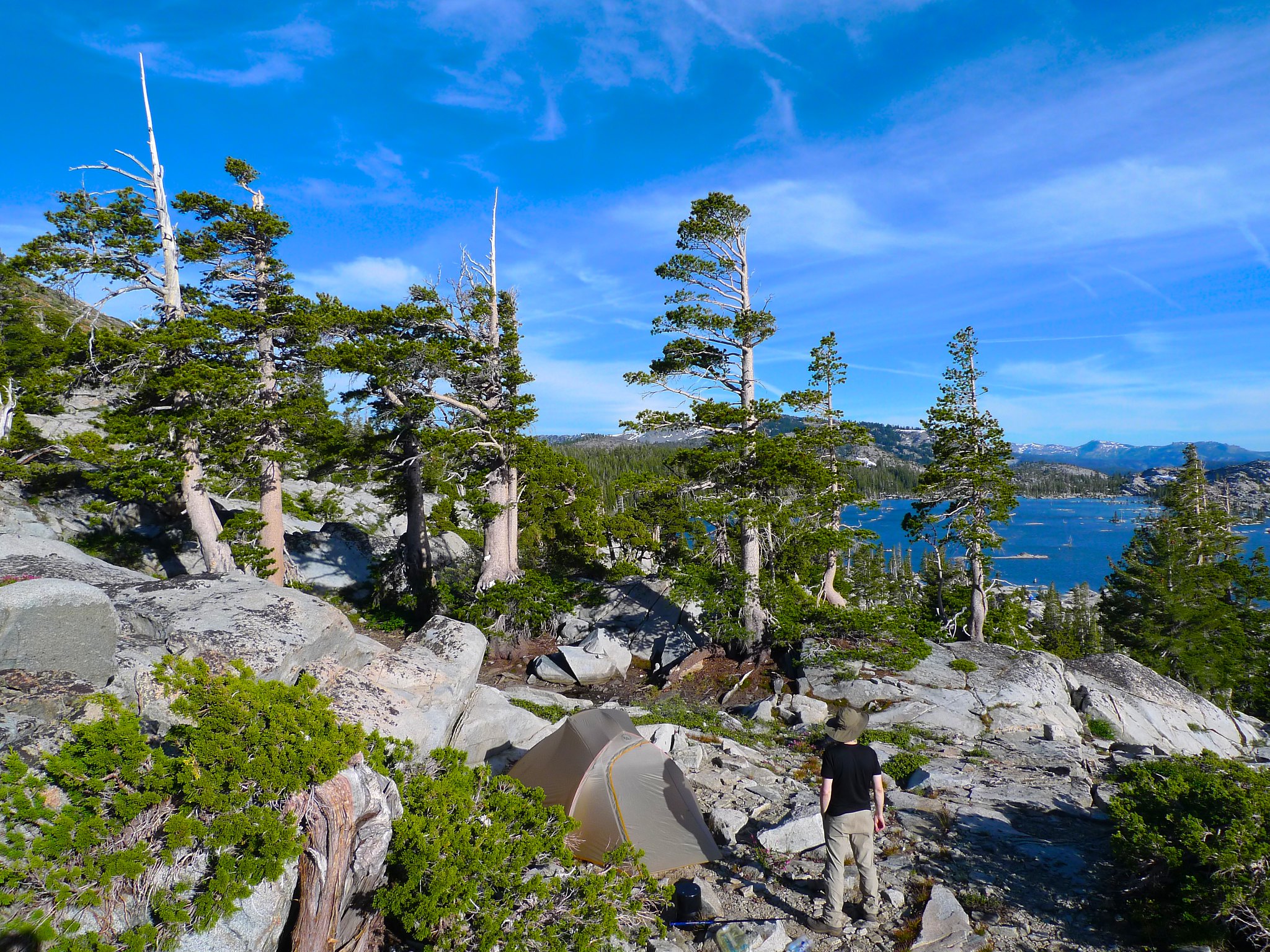
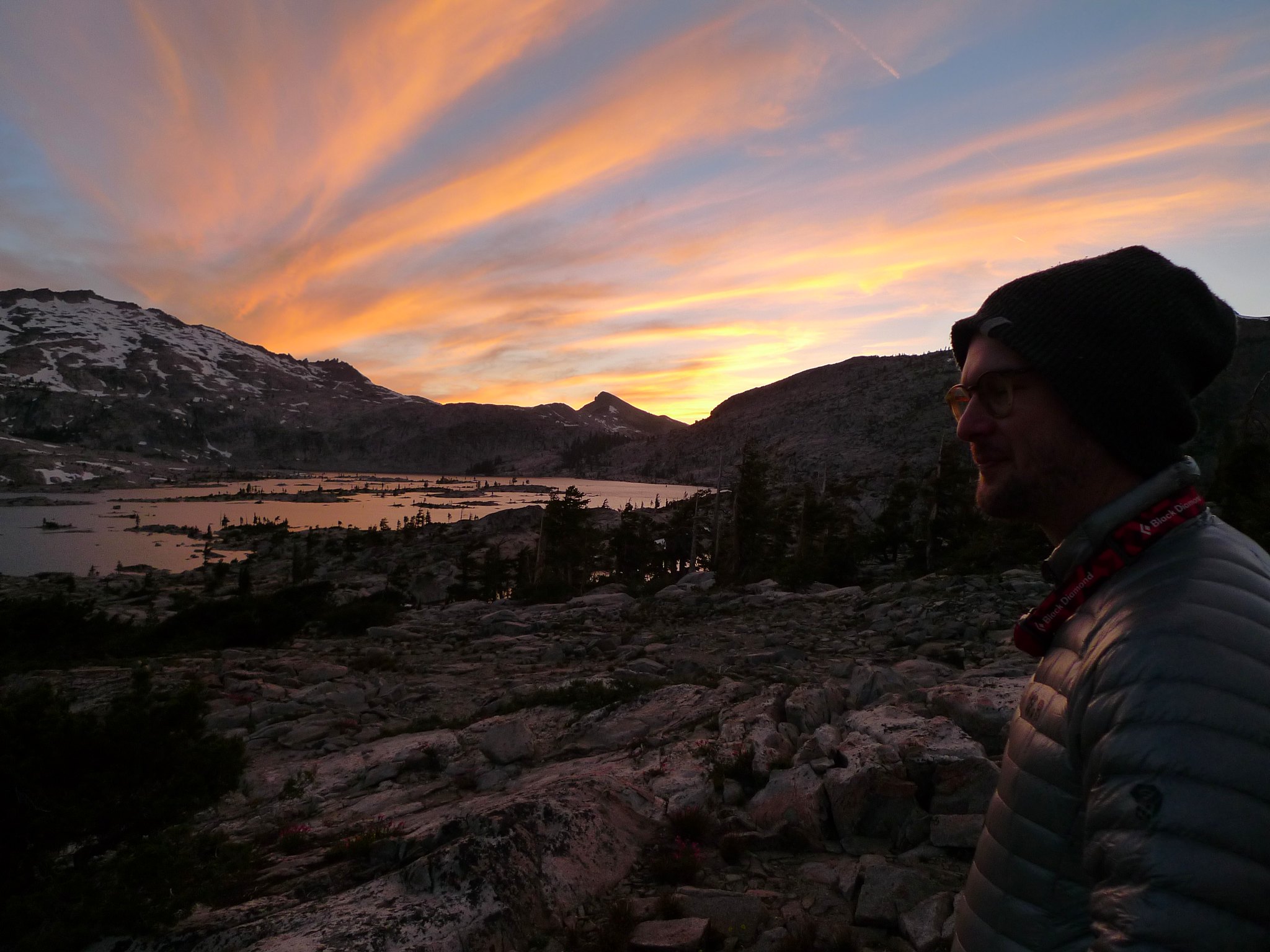
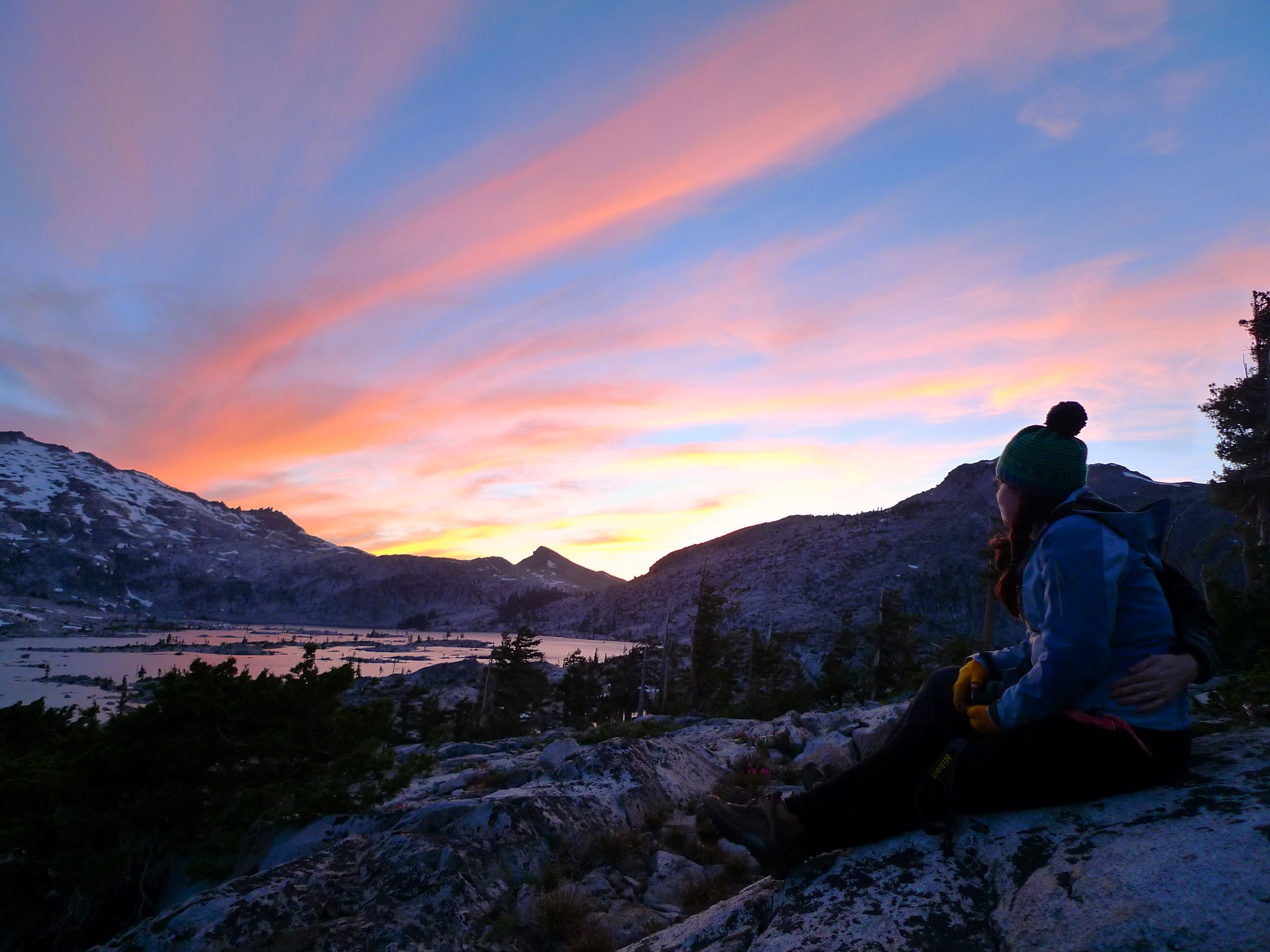
The only downside of our camp was a lack of water. We made a trek down to the lake shore to gather water, adding some elevation to our day (packless, at least!). Settled in to camp and stocked up on water, we cooked a satisfying dinner of ramen (sans flavor packet) with peas, cheese, and bacon. We only had one stove, so it took a bit of time to get everyone fed. Not a problem, since we had an amazing view.
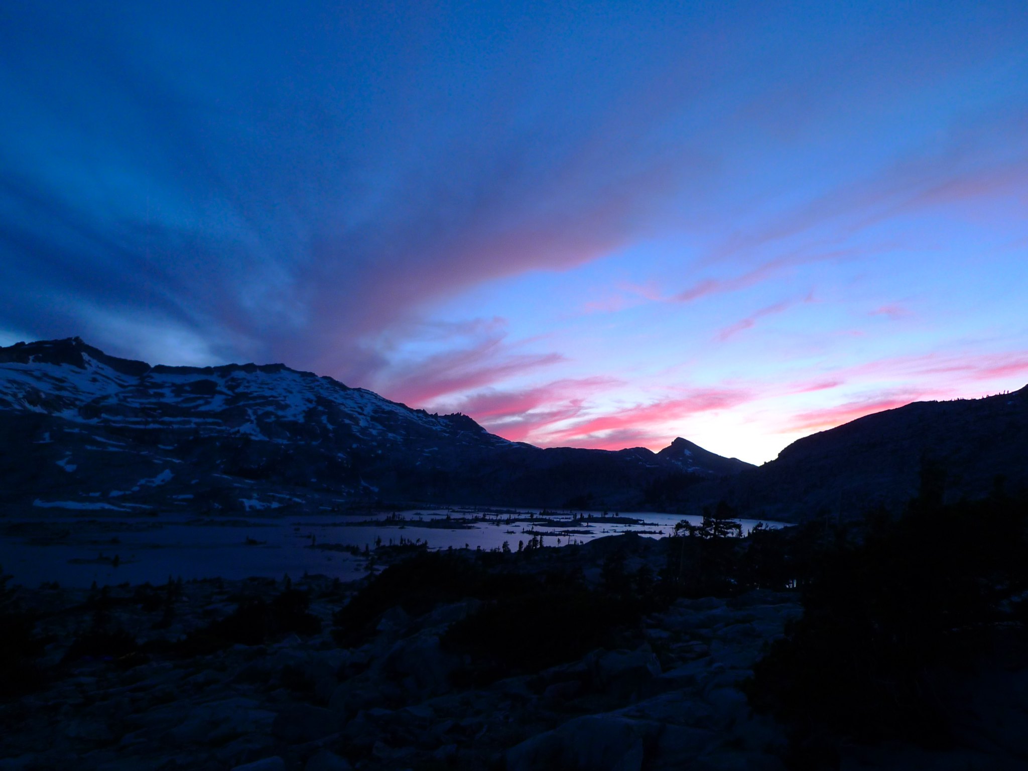
After dinner, the sky treated us to one of the most brilliant sunsets I’ve seen. We were lucky to have a few clouds to catch the atmosphere-filtered electric rays of sunlight. We kept turning back and forth, looking southeast and southwest, each time thinking it couldn’t possibly get more beautiful. We had some bourbon-spiked hot cocoa as the sun faded. Complete perfection.
Day 2
Lake Aloha to Dick’s Lake
9 miles, +2100ft/-1900ft
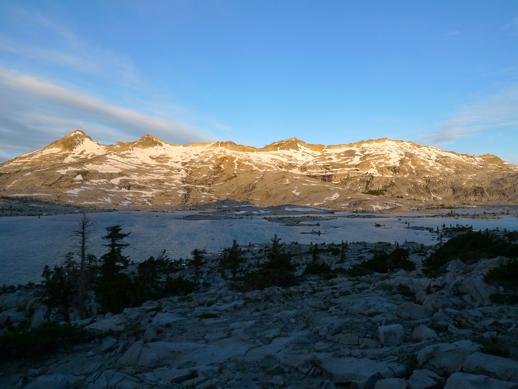
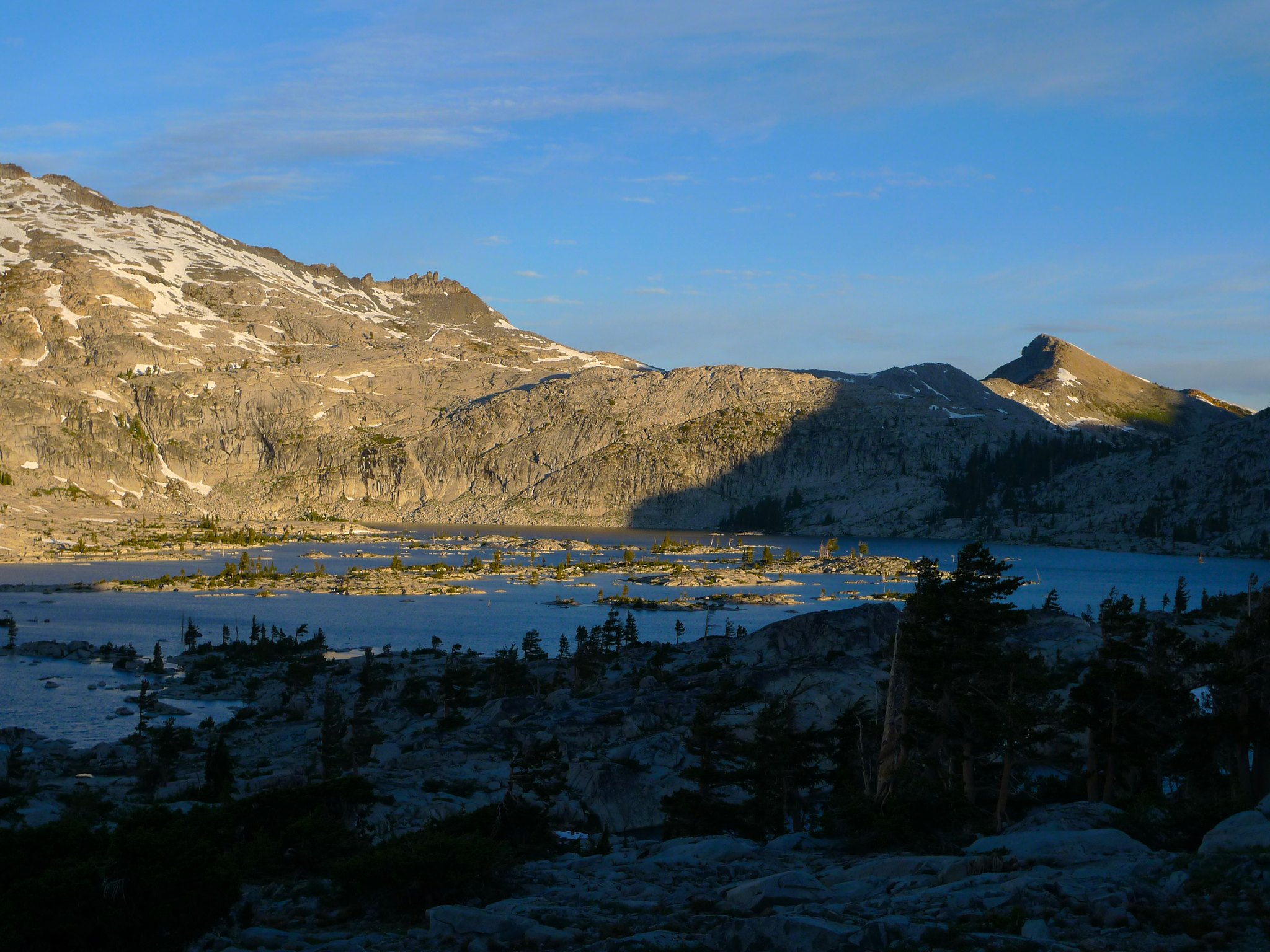
I had talked up the spectacular sunrise at Lake Aloha and Alex and I got up for it, but sadly there was a bank of heavy low clouds in the east that blocked any chances of alpenglow on the Crystal Range. Disappointed, we crawled back in our tents and napped a bit more. Around 8am, Patrick and I were up and getting our things together as the sunlight crept down from the Crystal Range to flood Lake Aloha.
By the time we’d finally finished breakfast and broke camp, it was 10:30am. I was a bit worried about our ability to cover the necessary ground this day. Patrick and I were laden with bear bins full of everyone’s food to make it easier on our friends and to help us train for an August trip on the High Sierra Trail. This ended up balancing out our pace so that we were all hiking the same speed, so it was a good call in the end.
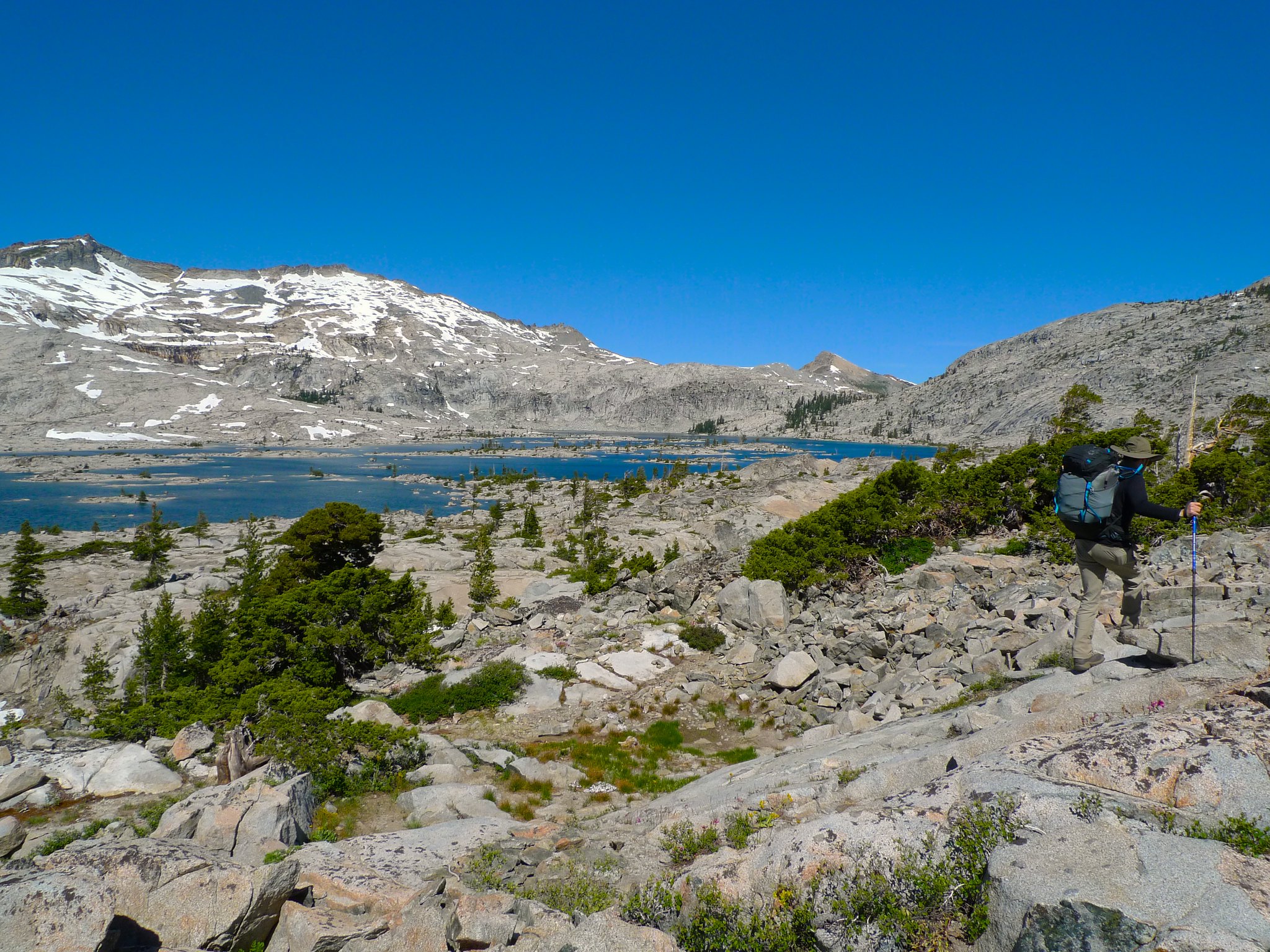
We headed back to the trail and hiked along Lake Aloha for a while before reaching the junction with the trail to Heather Lake.
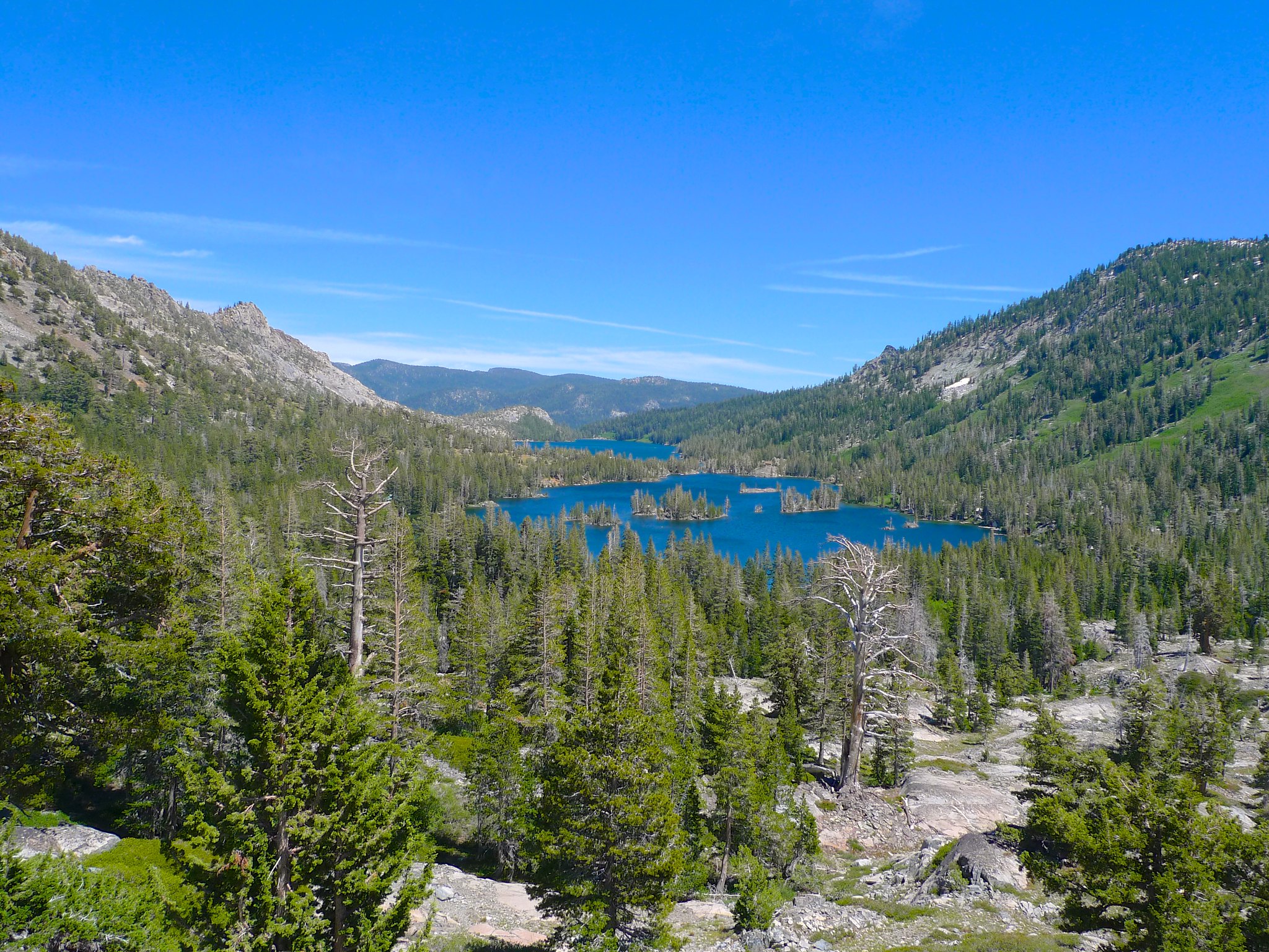
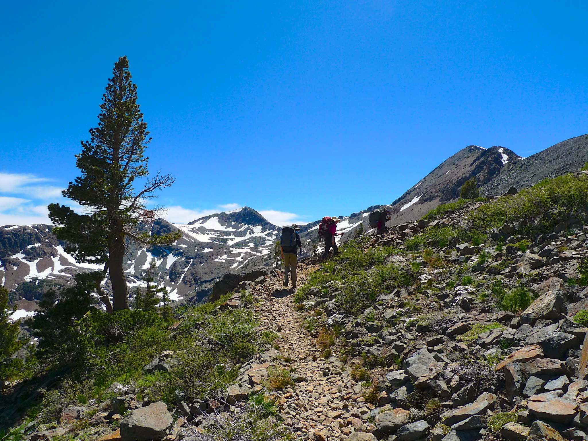
We passed Heather Lake and then Susie Lake on our way towards Dick’s Pass.
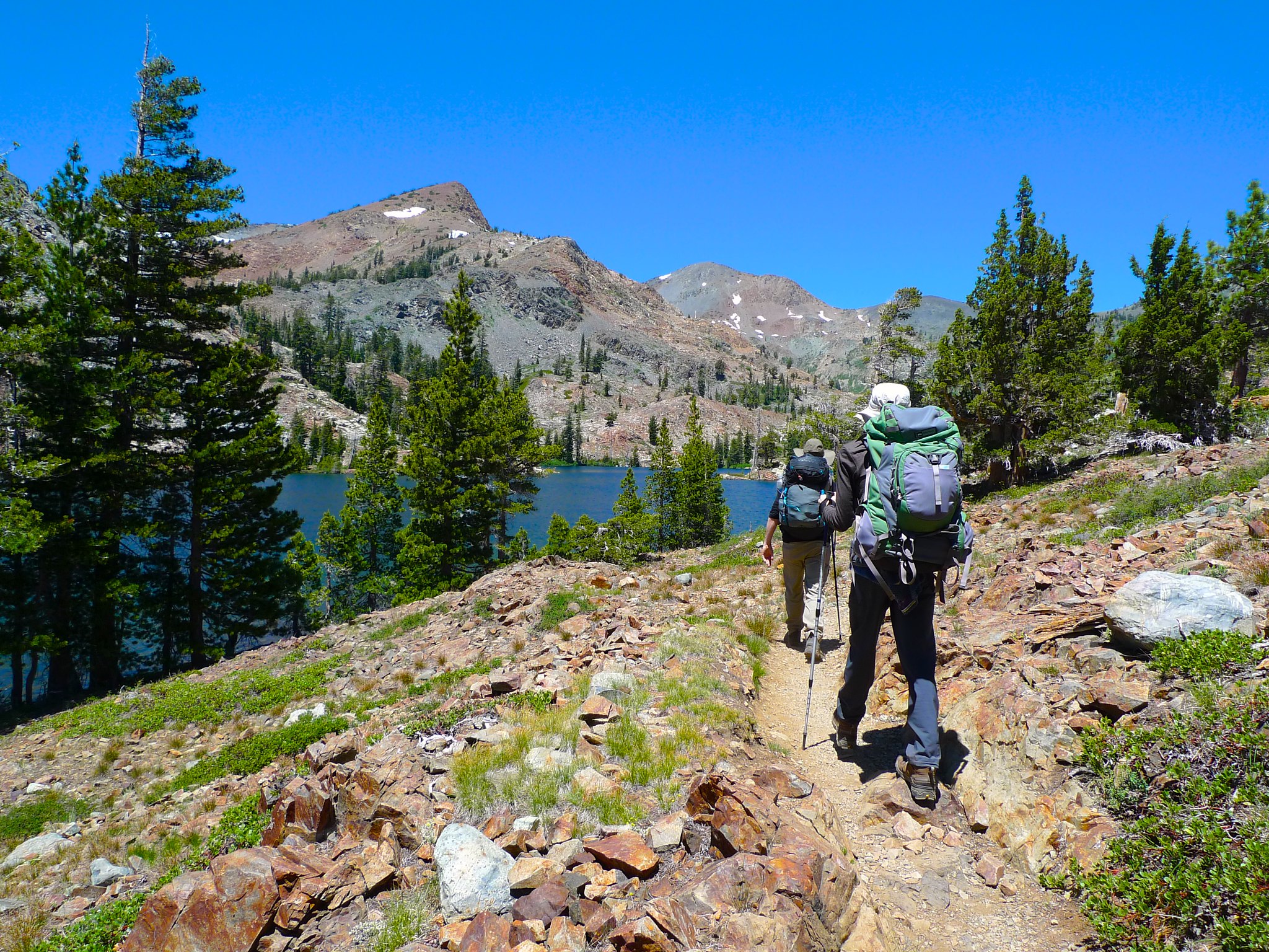
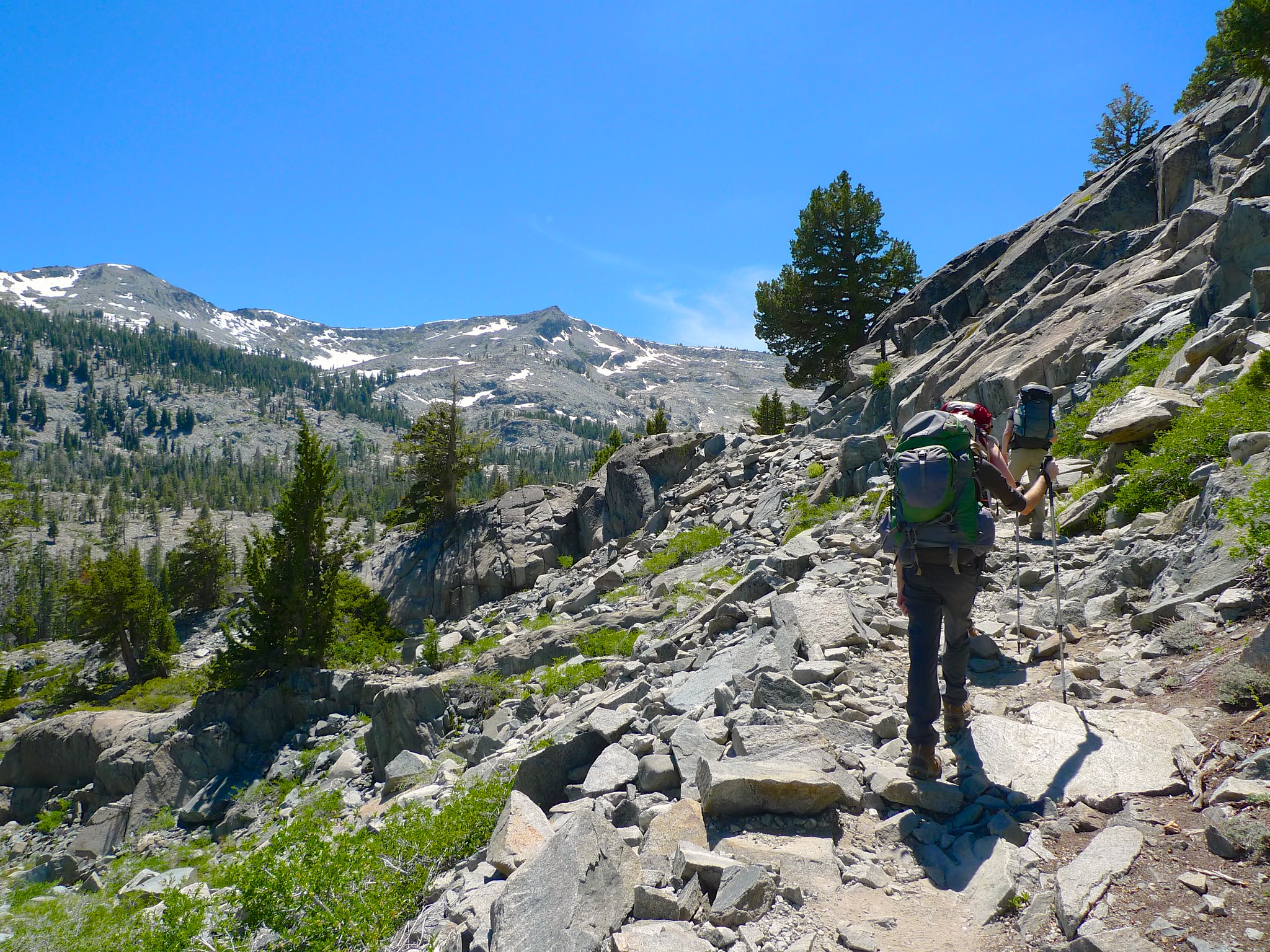
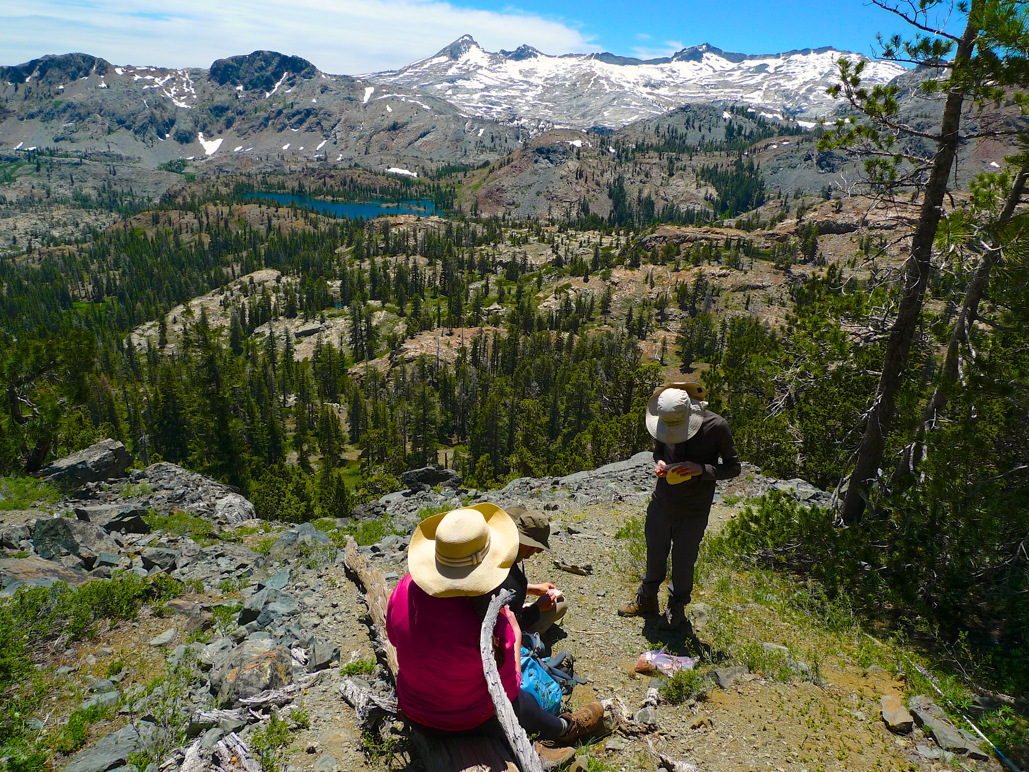
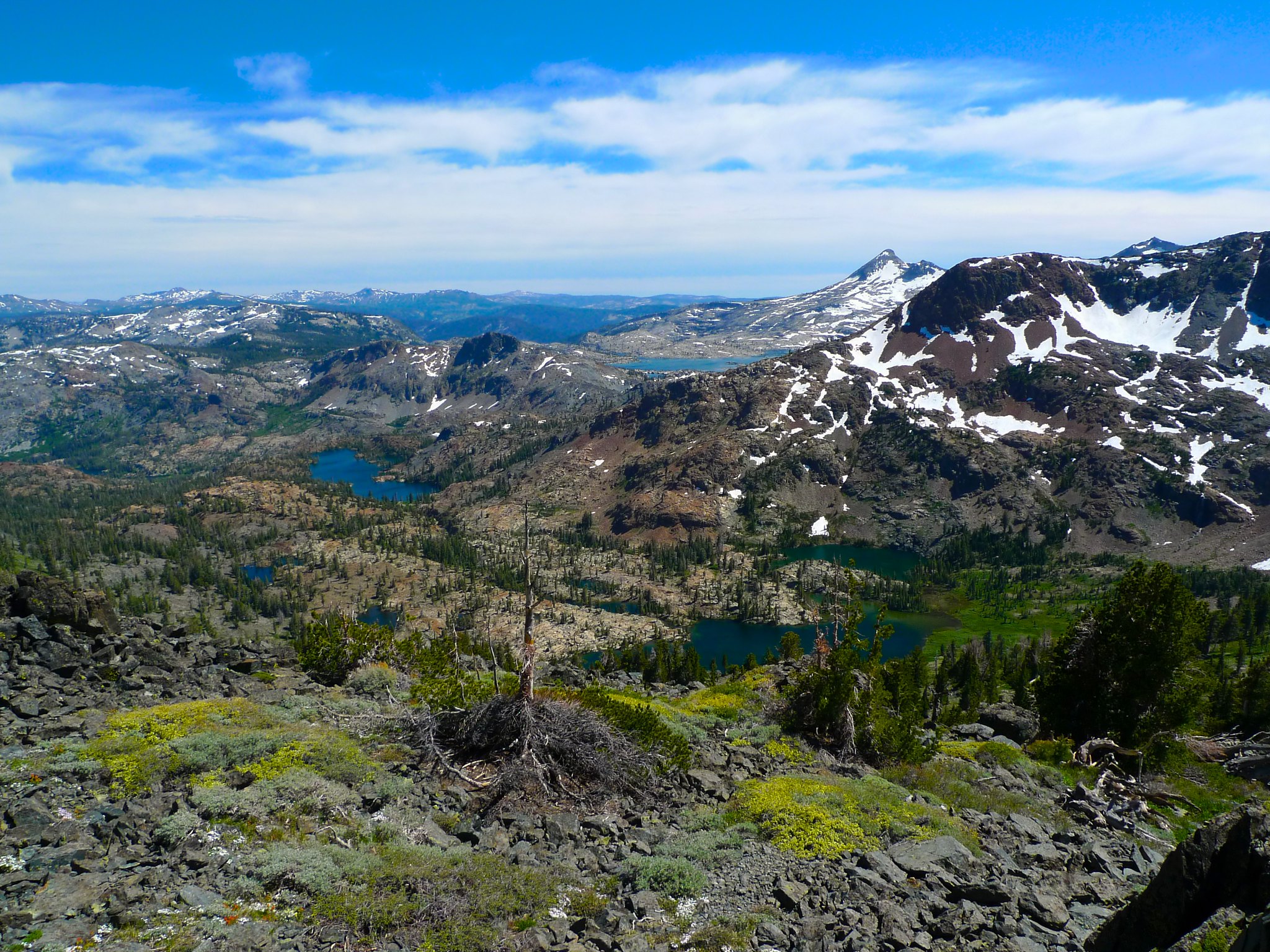
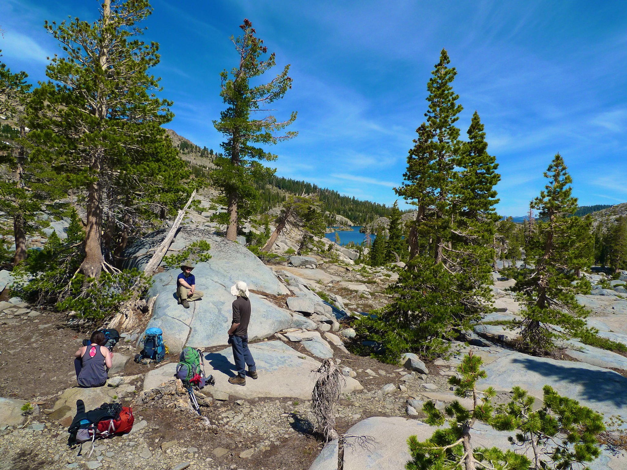
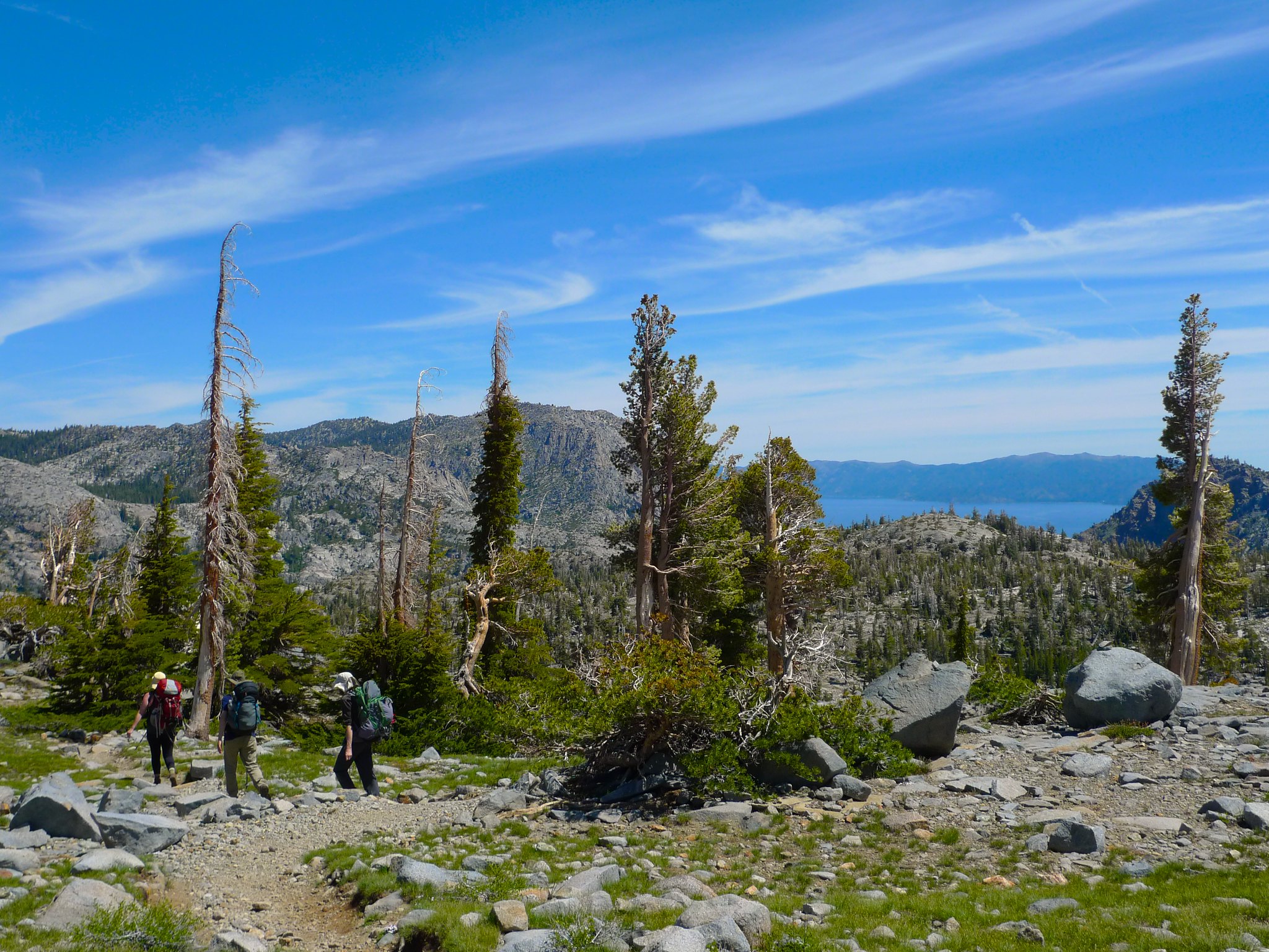
As we climbed towards Dick’s Pass, the views just got better and better. We could see the entire southeast portion of Desolation Wilderness, including the route we’d taken. We stopped for lunch midway up the climb.
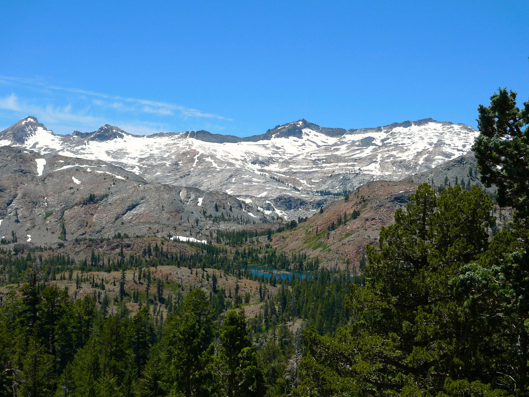
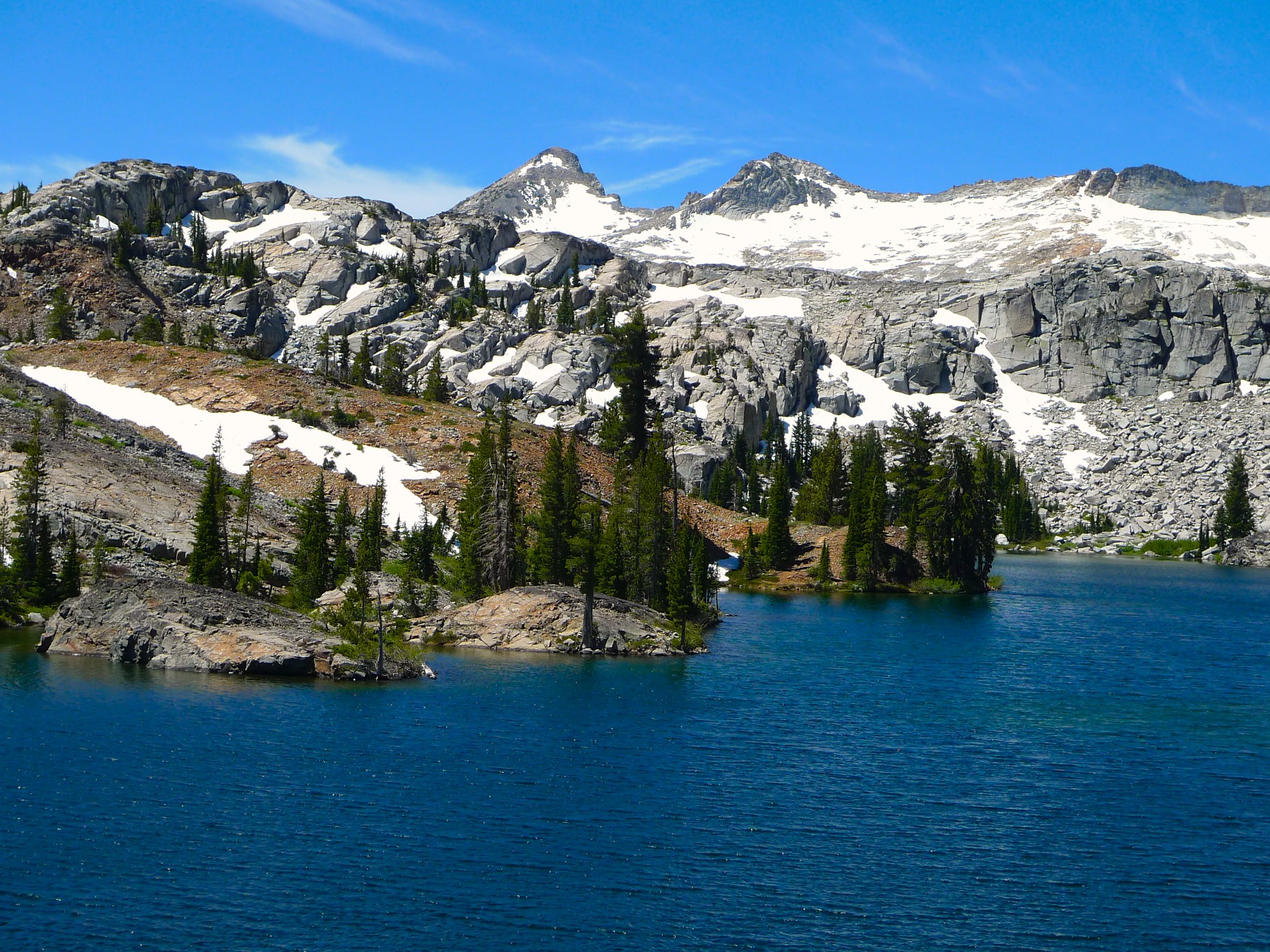
We climbed higher towards Dick’s Pass and were rewarded with lovely views of Half Moon and Alta Morris lakes. It was fun for me to look down on were I’d been hiking a few weeks before and to see the difference in snowmelt that a few weeks could make.
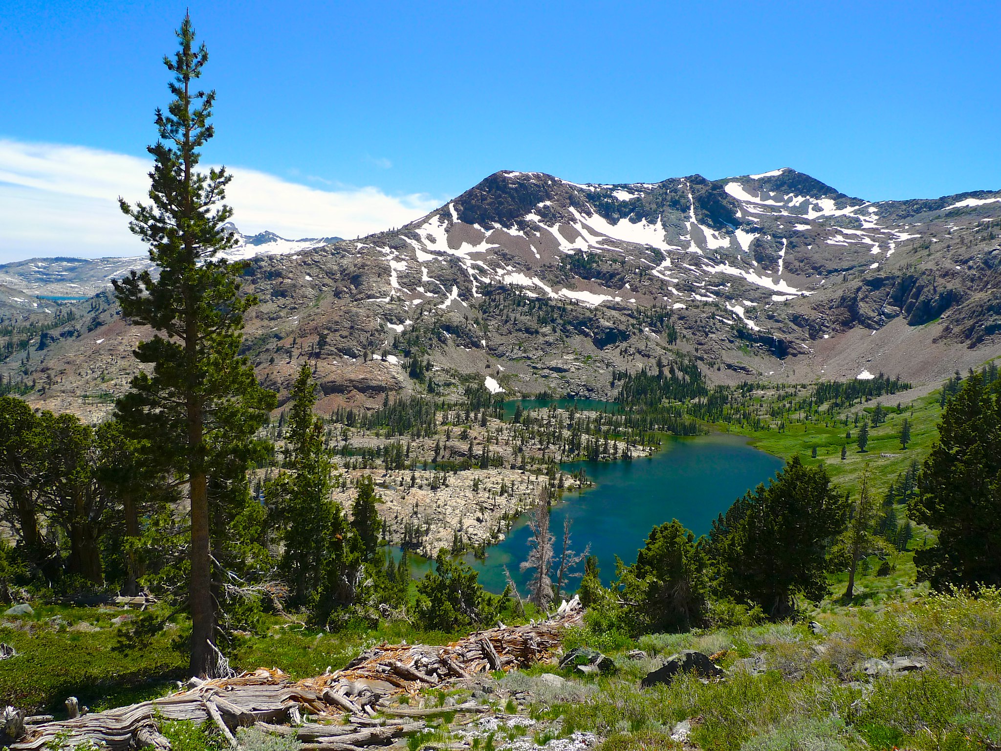
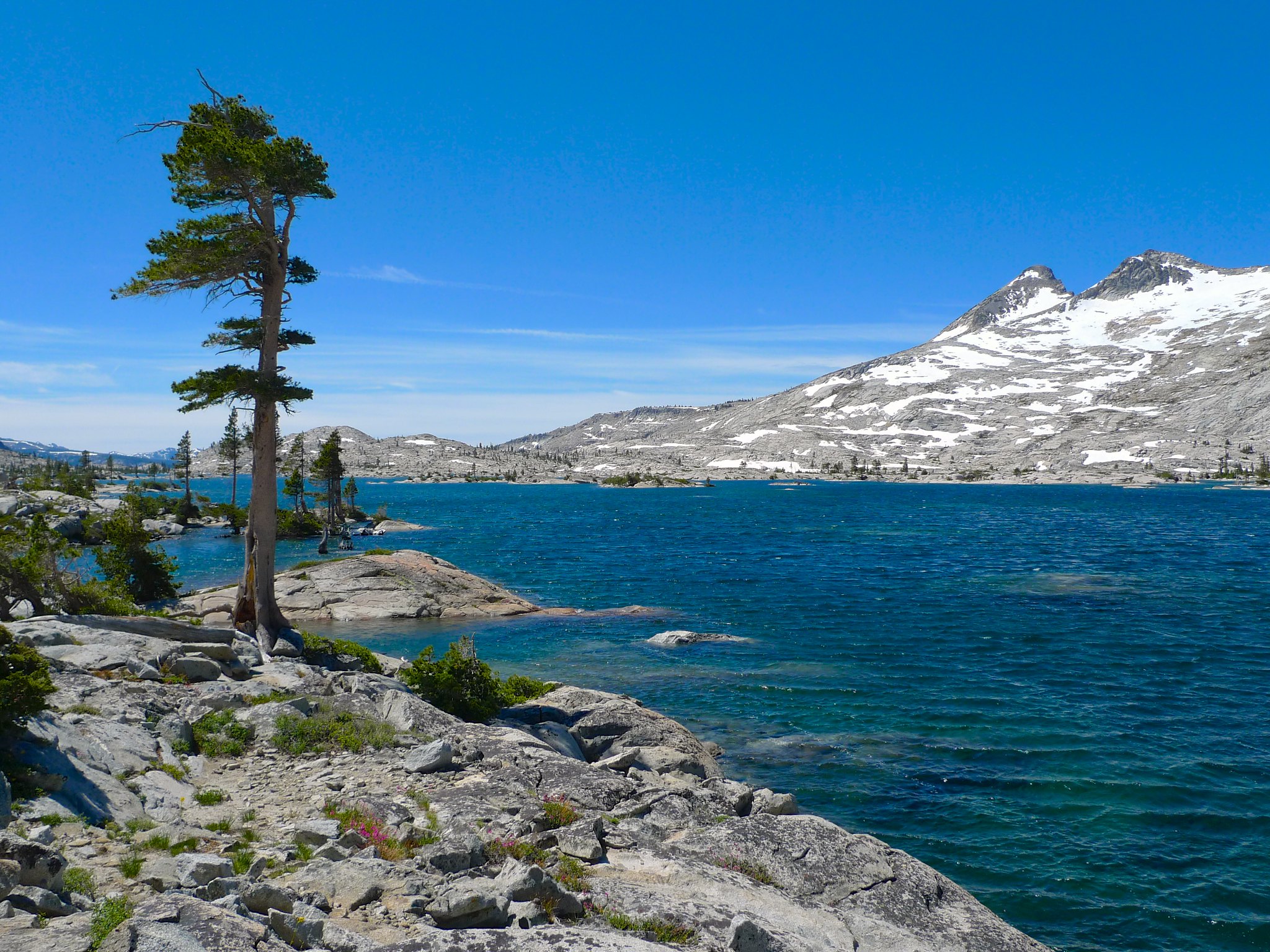
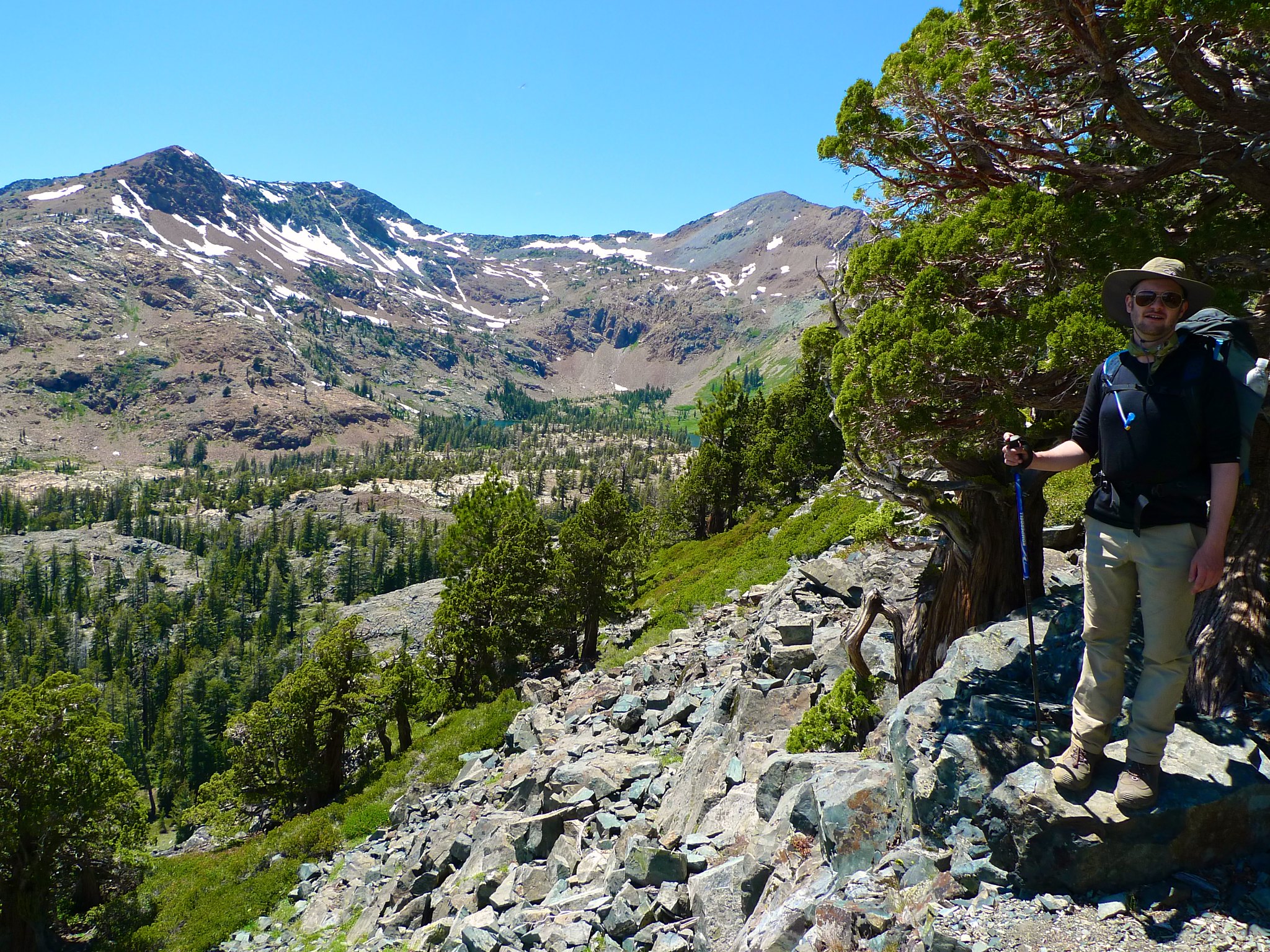
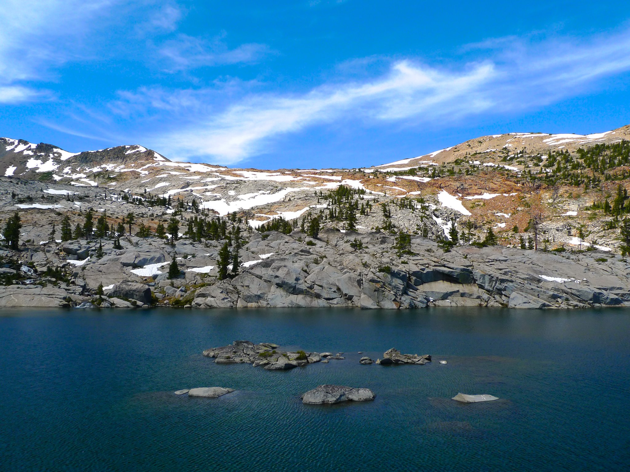
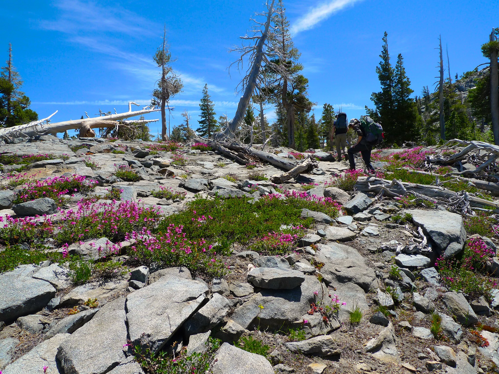
Before reaching the true pass, the trail gives a little teaser by approaching a saddle with a view down to Dick’s, Fontanillis, and Middle Velma lakes. Some cliffs on the north side of the pass above Dick’s lake prevent the trail from descending before first climbing higher.
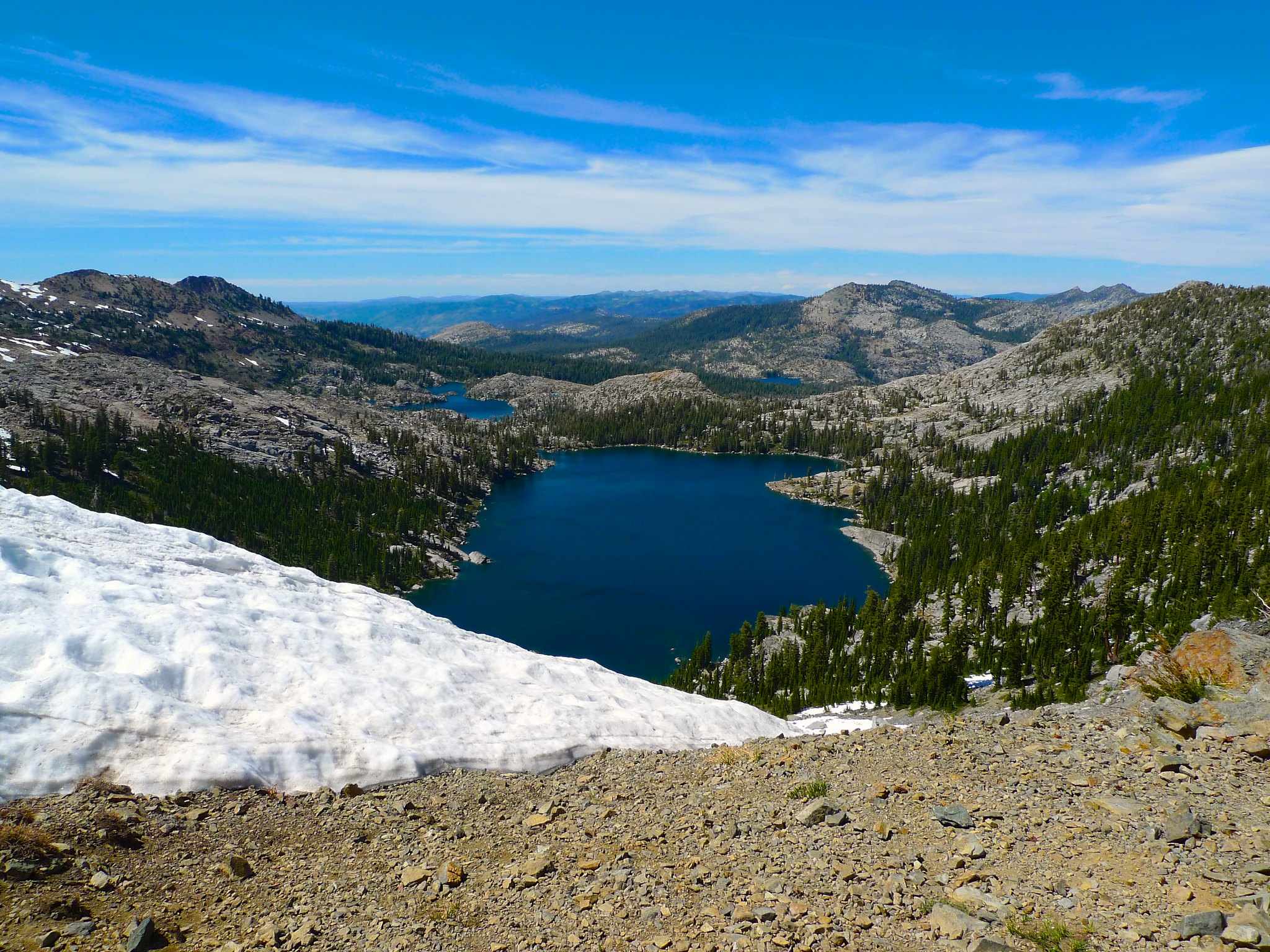
The view southeast as we gained the pass was absolutely spectacular.
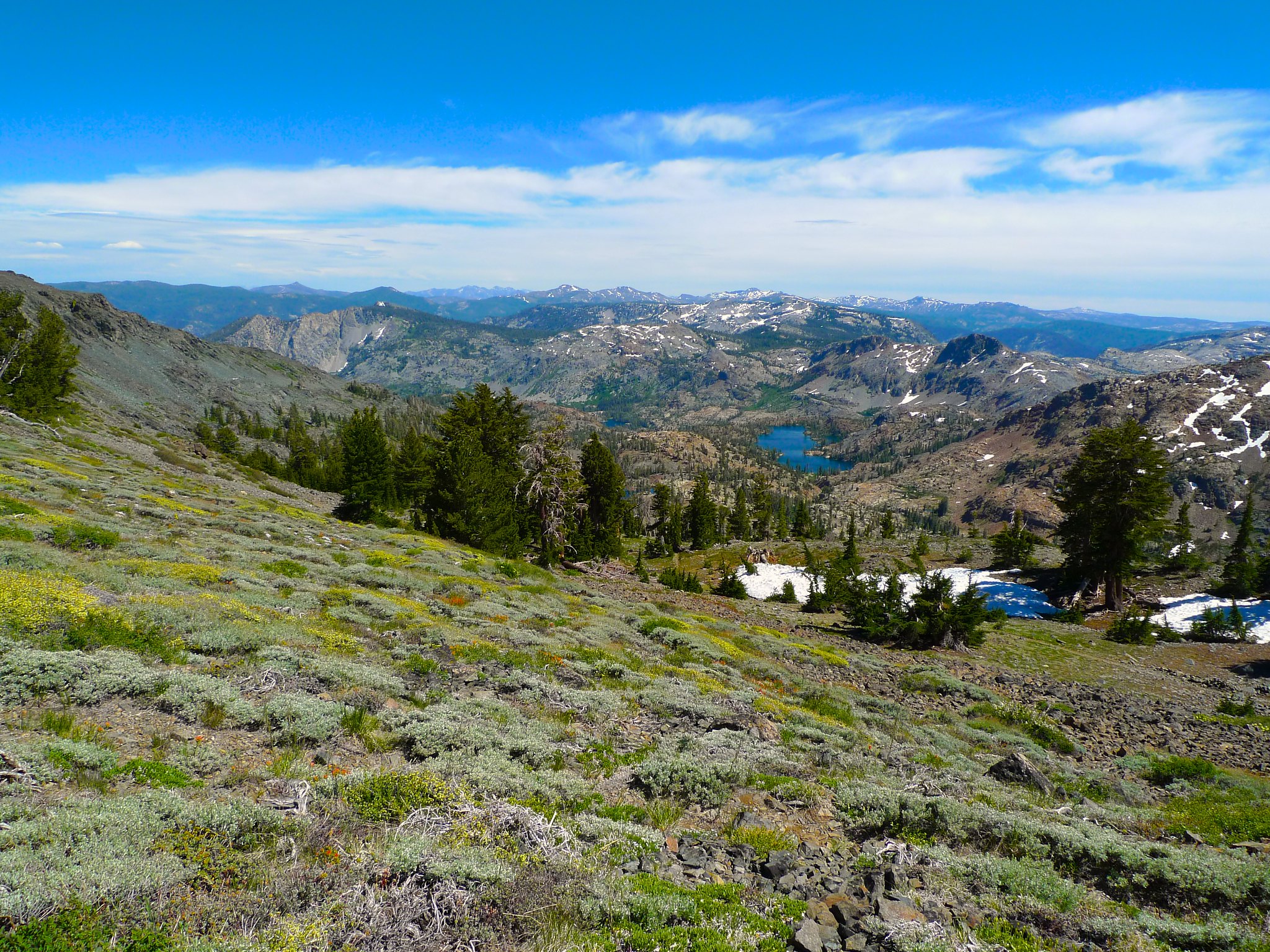
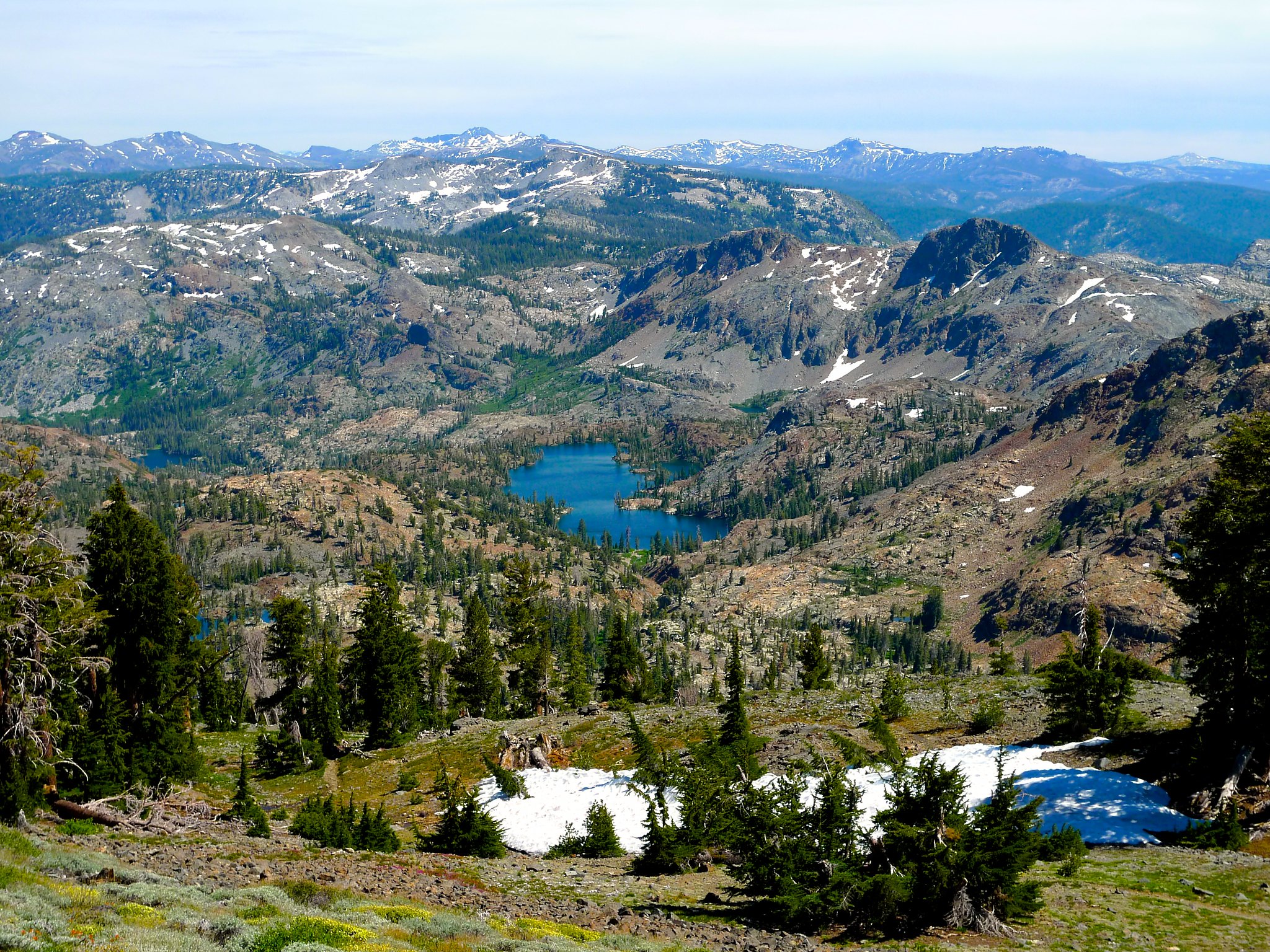
We could see all the way to Lake Aloha; a bird’s eye view of all we’d hiked this day.
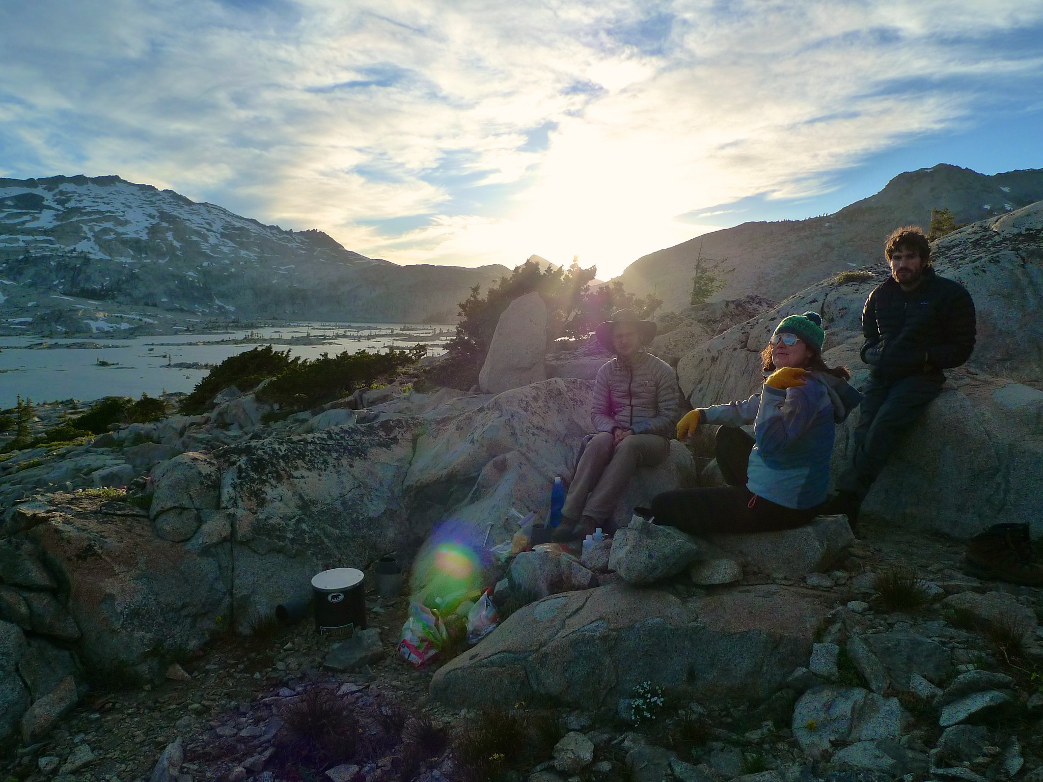
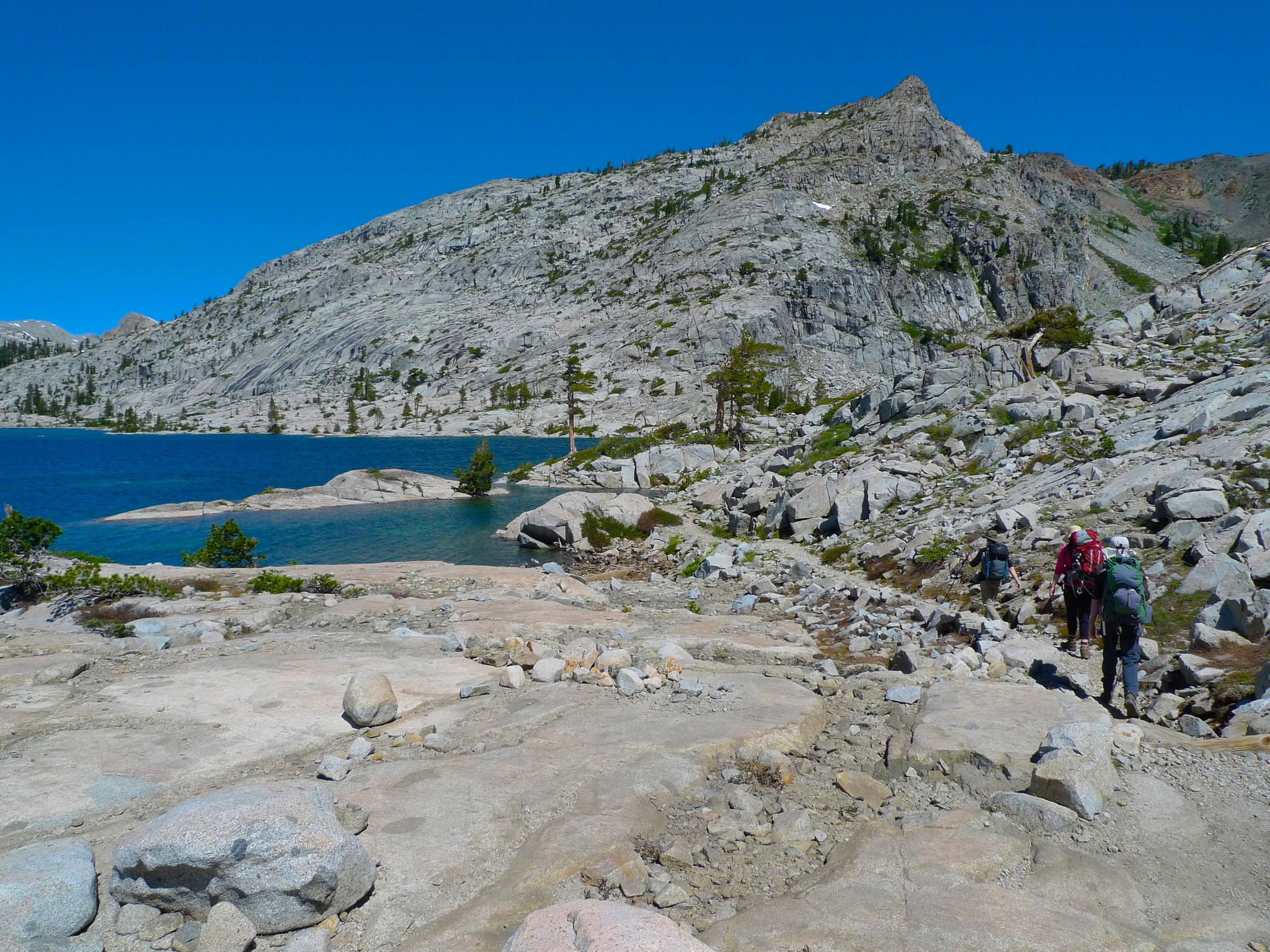
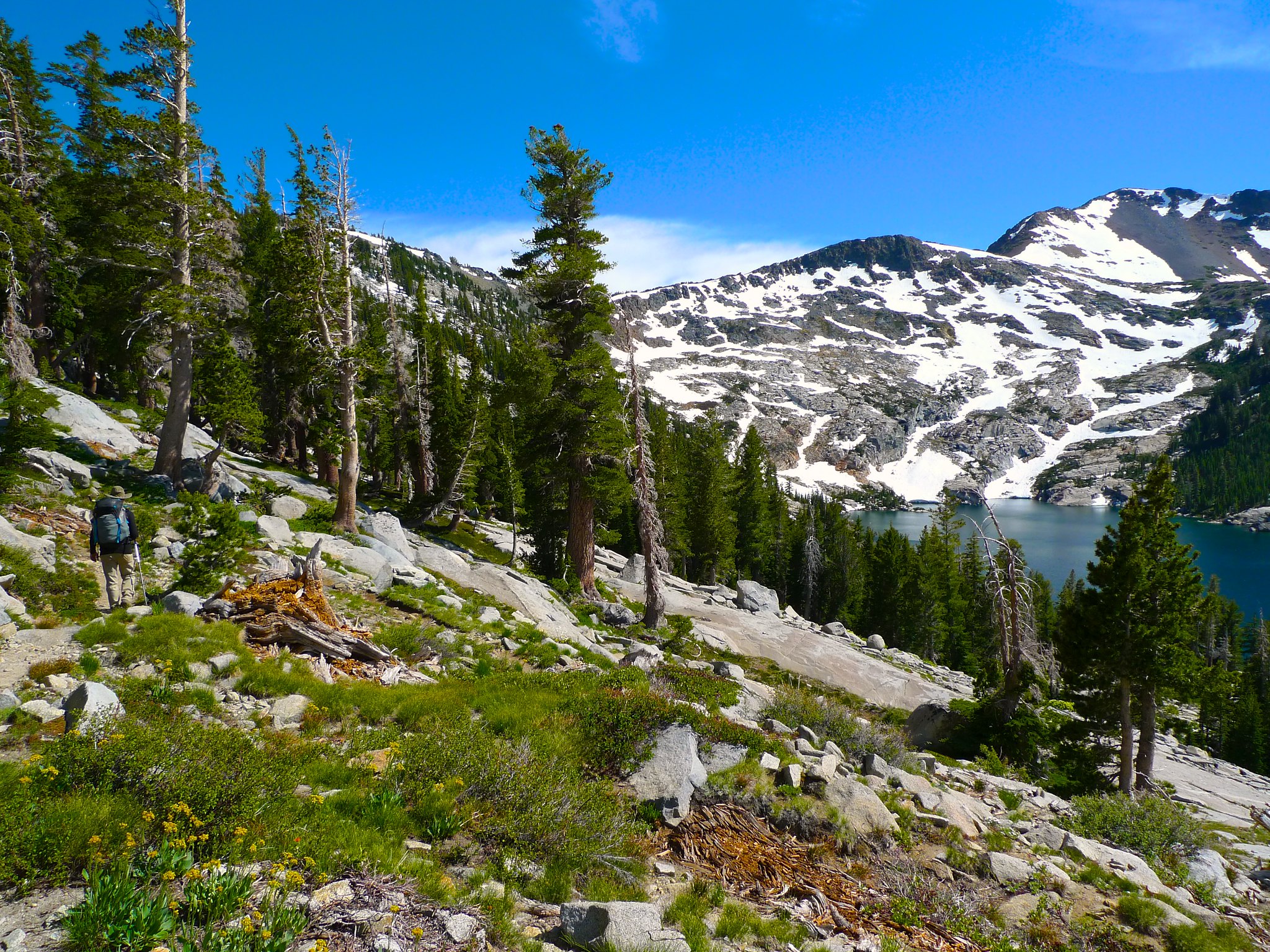
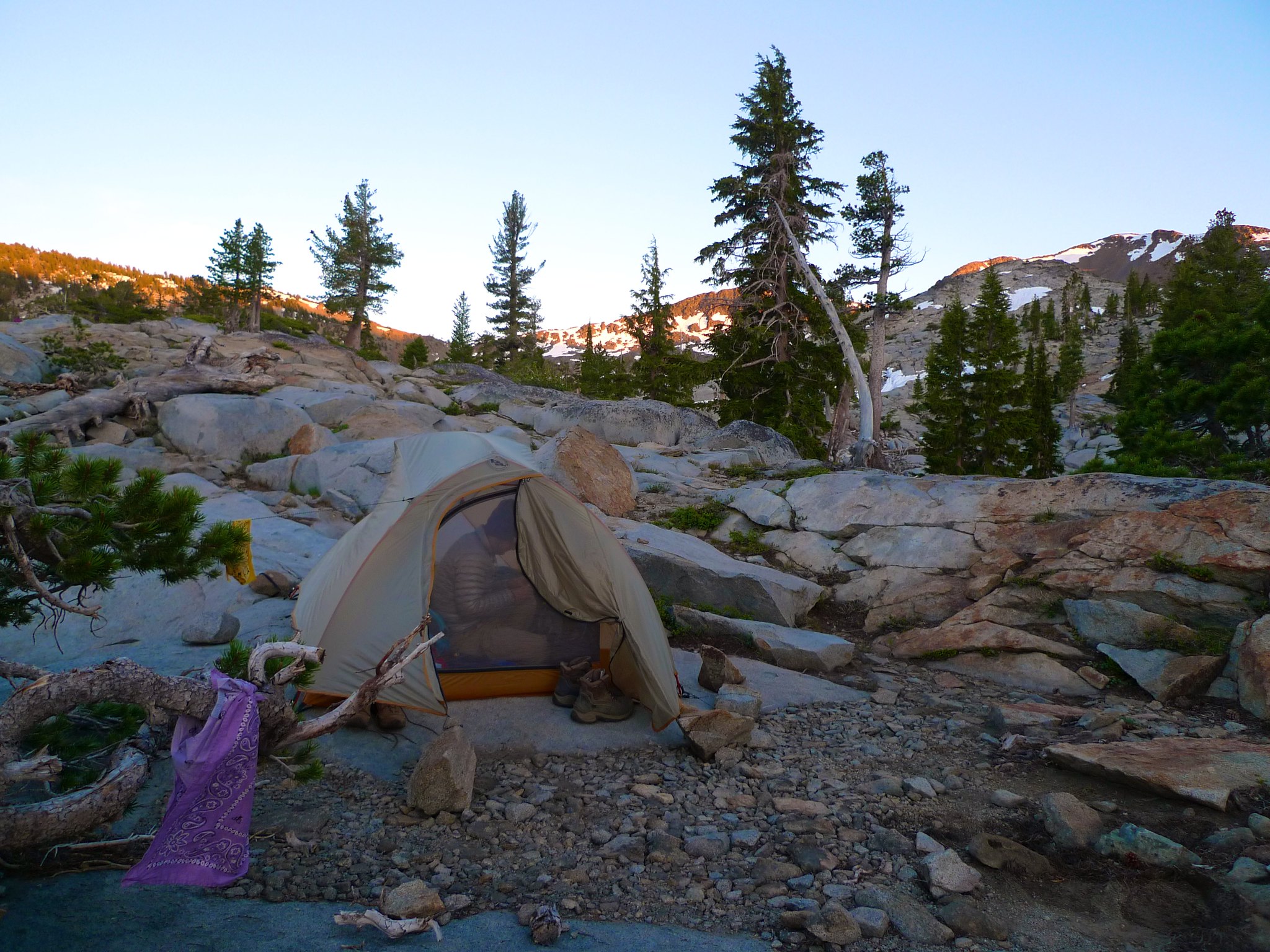
We made our way down to Dick’s Lake, finding it overrun with people camping essentially right on top of each other where the trail meets the lake. We decided to head down towards Fontanillis Lake a ways and try to find a spot along the creek that flows out of Dick’s and into Fontanillis. Again, I was in charge of scurrying around looking for an optimal spot since I’m the one that seems to care about this the most. We had dinner and enjoyed a decent enough sunset before turning in.
Day 3
Dick’s Lake to Eagle Falls
7 miles, +300ft/-1900ft
Another late start on our final morning, mostly due to cooking breakfast for 4 with one stove and also to some rather unsuccessful coffee experiments. I’m a huge fan of taking care of my caffeine dependence with CLIF Shots, but Liz found a coffee filter contraption at REI and wanted to give it a go. Let’s just say that some controlled practice will be required to figure out how to actually use it. I’ll be sticking to caffeinated goo.
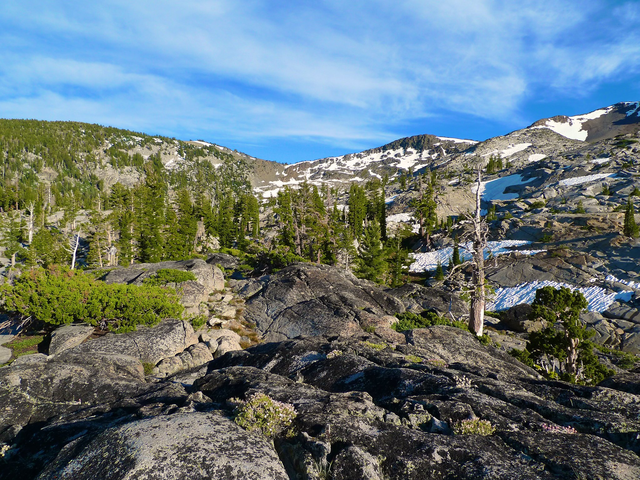
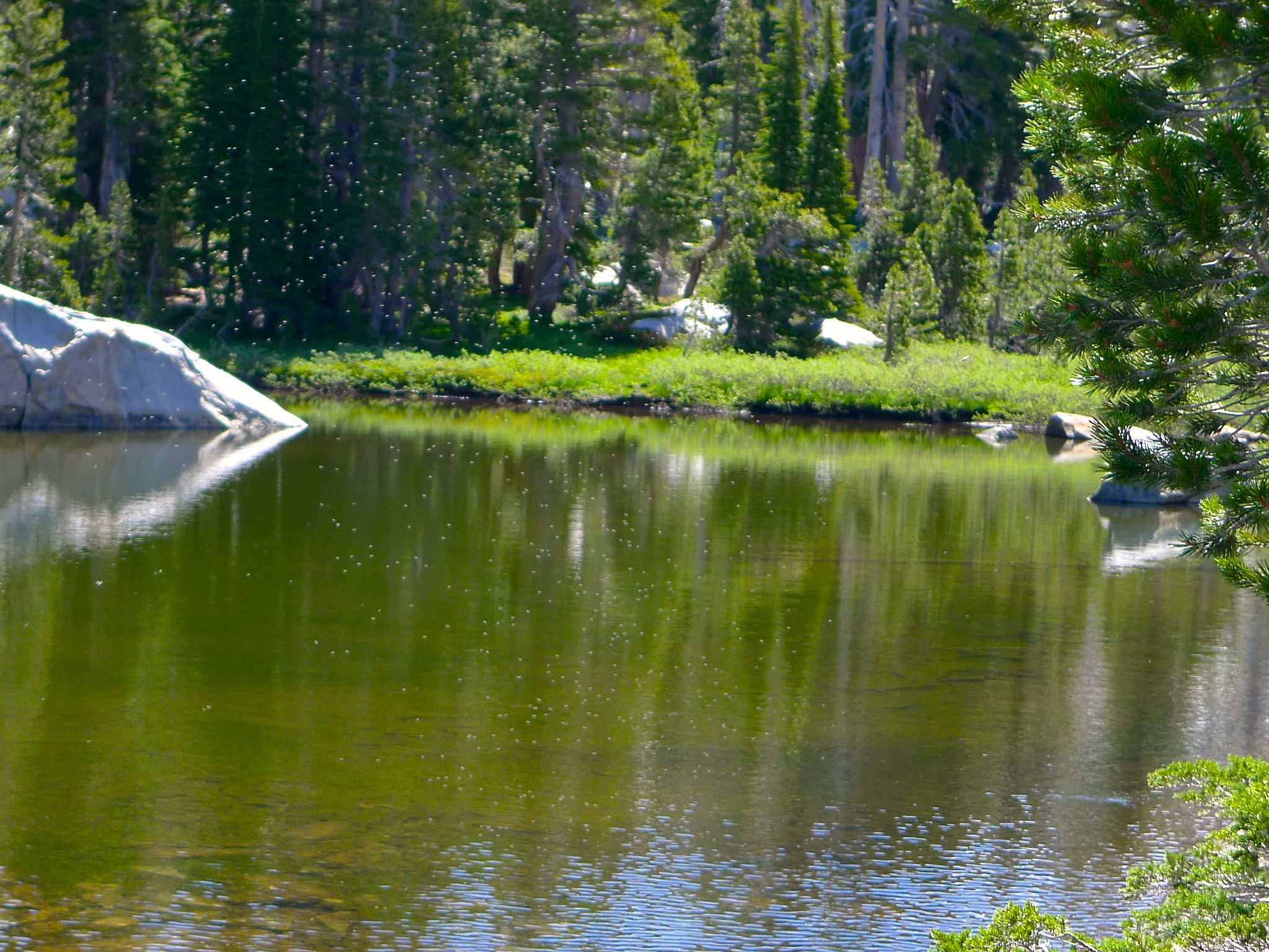
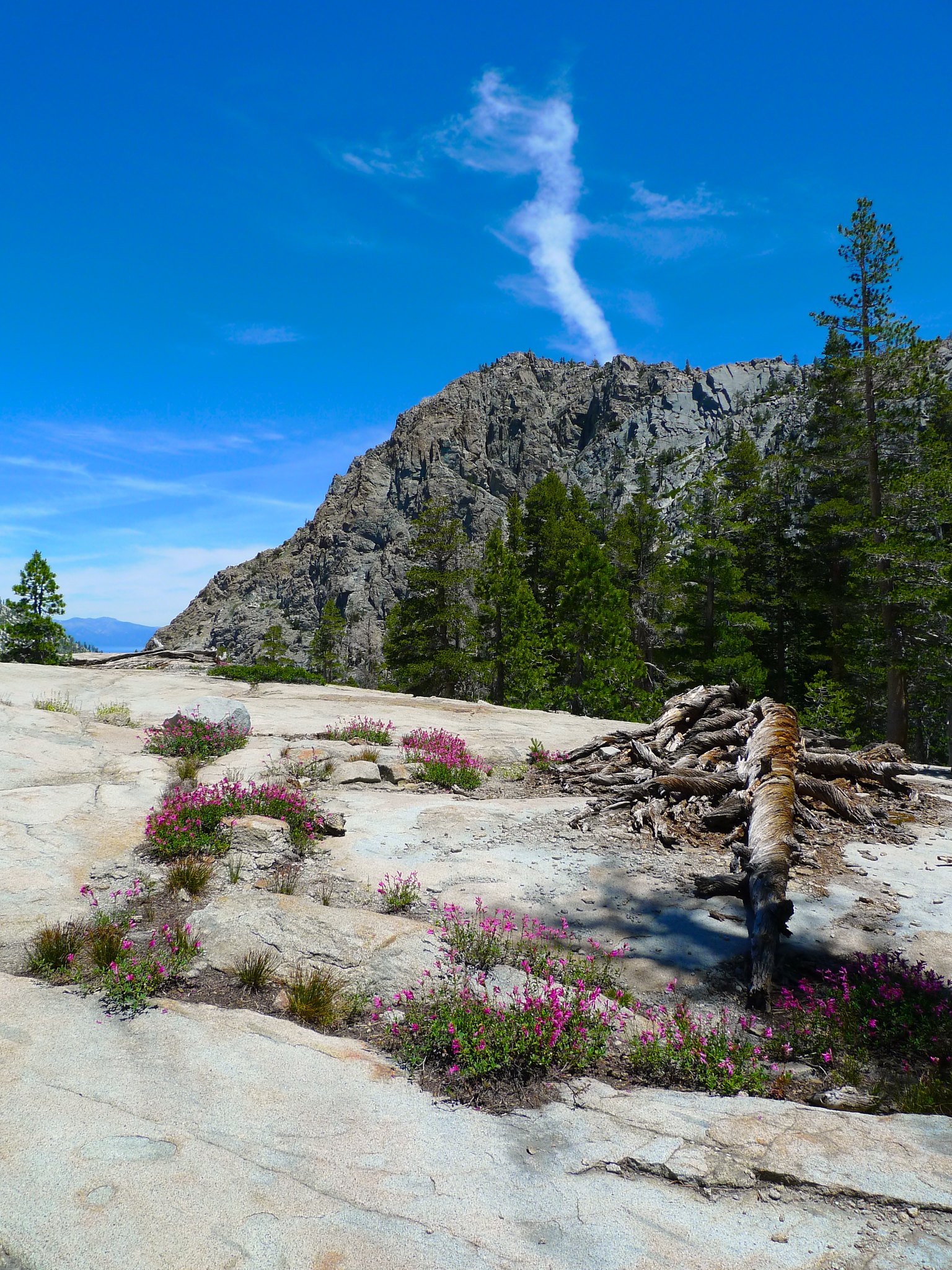
Alex was getting a bit tired and Liz had some blisters, so we opted to head down the Bayview trail instead of looping around past Fontanillis and the Velmas, though we did head over to Fontanillis for a short packless visit.
The mosquitos and gnats were completely INSANE, so we did not linger very long.
We headed down the Bayview trail with wildflowers and views of Lake Tahoe as we made our descent.
When we shuttled the car, we left it at the Eagle Falls trailhead, but Liz’s blisters were hurting her and she was not excited about walking on the very rocky and steep trail that leads down to Emerald Bay. So, I headed down the Eagle Falls trail to retrieve the car while Patrick, Liz, and Alex took the more forested, less rocky Bayview trail.
Once I passed Eagle Lake, the trail was swarming with some absurdly ill-prepared day hikers. On the trail nearly at Eagle Lake, I saw a mother dragging along a crying five year old in flip flops (poor kid had to hike a round trip of 2 miles over rocky stairs in FLIP FLOPS). Next, I saw a woman in a black leather biker vest and jeans (it was 90 degrees, mind you), but the prize for Weirdest Thing Possible has to go to the couple carrying their dachshunds in shoulder bags. Two people, each with a dog in a bag. Hiking. Yeah. Needless to say, I was happy when I finally reached the wilderness boundary and the trailhead.
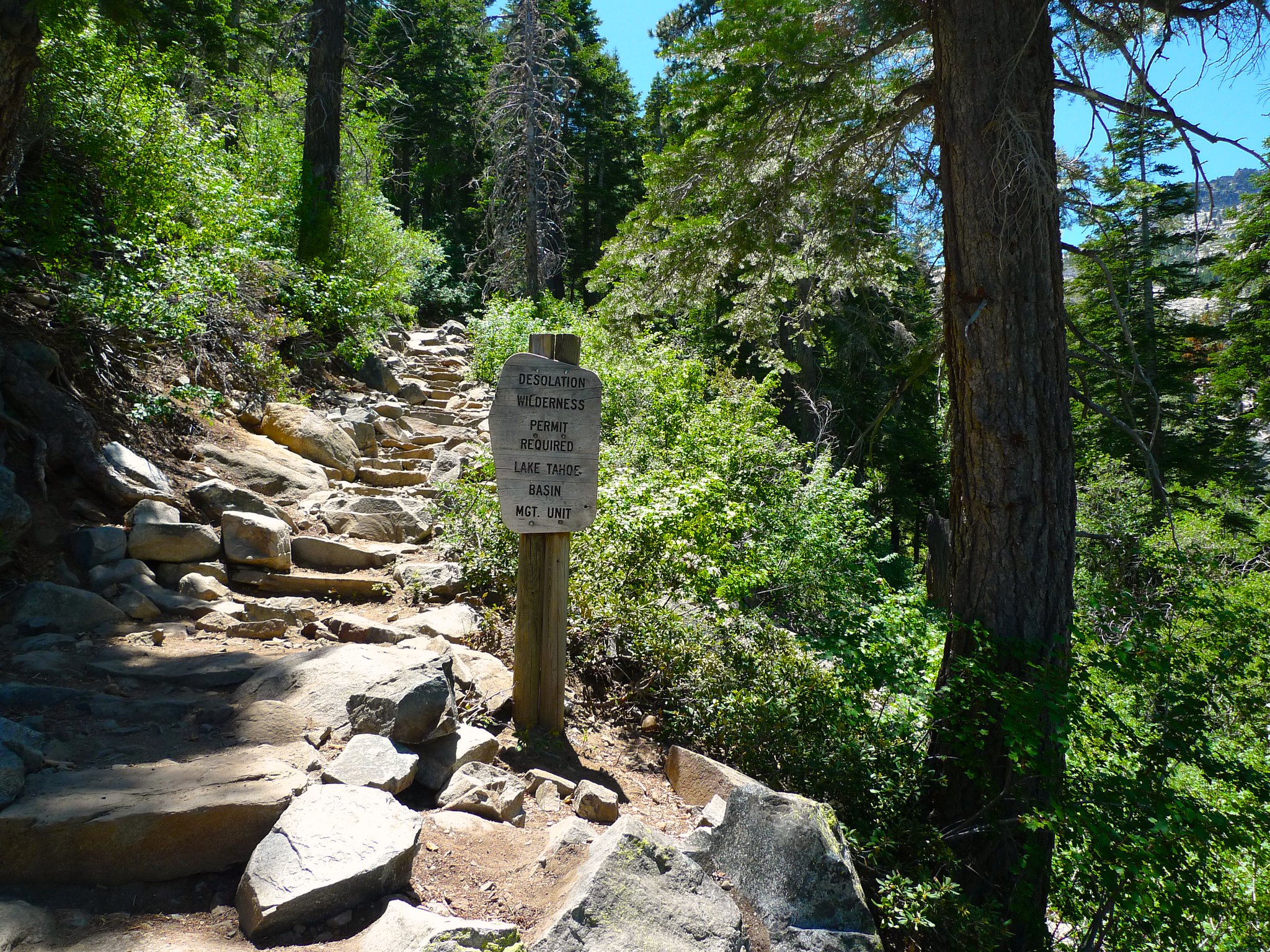
Want to do this trip yourself? Desolation Wilderness is a heavily used area and you will need a permit for your overnight stay. You can reserve one in advance or try for a walk-in at the Pacific Ranger Station or the Taylor Creek Visitor Center. Download the Fallen Leaf Lake USGS quad or pick up the Tom Harrison Desolation Wilderness topo.

Great trip report. I love the Desolation Wilderness! Great images also.
This looks incredible! I am planning to hike this area this upcoming summer…thanks for sharing!
Also, beautiful pictures – mind if I ask what type of camera you use?
Thanks! I used an old Panasonic Lumix DX3 on this hike. You’ll have a great time hiking in Desolation Wilderness!
Sweet Shots !
Great trip report & pics! Love the mileage breakdown. Hope to do this trip this summer.